Transport Functions
Rail
Road
Hub Profile
Place type
Populated place
Region
Apulia
Population
1,334
Time zone
Europe/Rome
Elevation
100 m
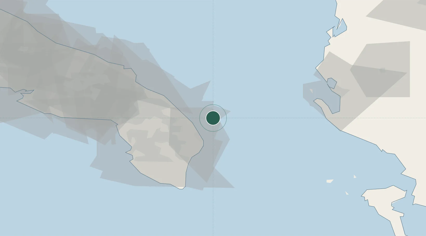
Location
Nearby Logistics Neighbours
Cities
- 1Santa Foca di Melendugno22 km
- 2San Cataldo26 km
- 3Martano27 km
- 4Torre Cesarea32 km
- 5Corigliano d'Otranto33 km
Airports
Trade Zones
DatabookThe Record of Consolidated Knowledge
Italy beyond logistics?