Seaport · Italy
TarantoITTAR
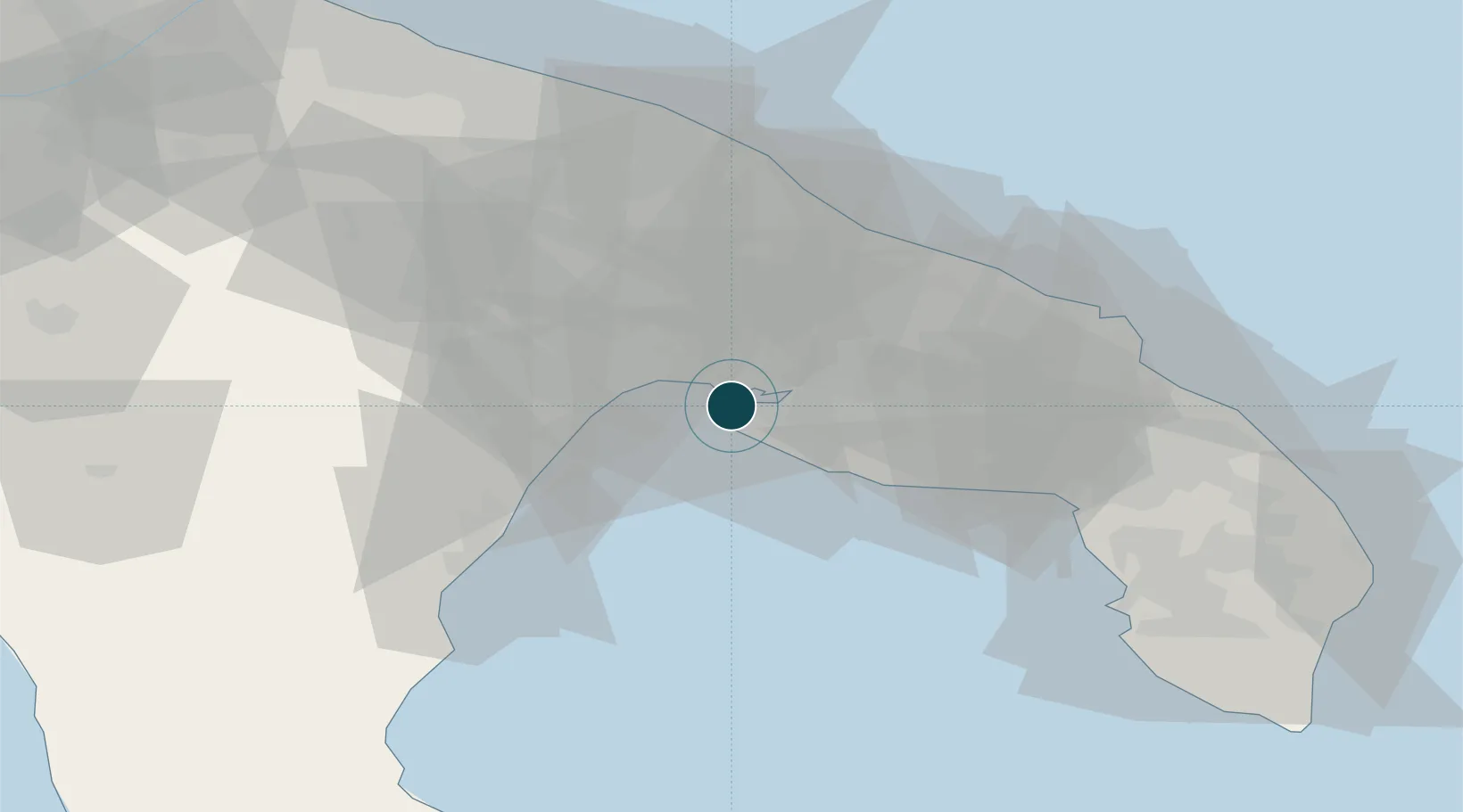
40.4667°, 17.2000°
14.0 m
Channel depth
1
Container terminals
26.8
Port liner connectivity
Channel & Berth Profile
Pilotage, Tugs & Services
Pilotage compulsoryYES
Pilotage availableYES
Tug assistanceYES
Salvage tugsYES
Potable waterYES
Diesel bunkersYES
MedicalYES
Garbage disposalYES
Facilities & Capabilities
Container—
Ro-Ro—
Liquid bulk—
Dry bulk—
Oil terminal—
Break bulk—
Dry dock—
RepairsNO
BunkeringYES
Rail linkYES
Dangerous cargo—
ISPS security—
Harbour Specifications
Harbour size
Large
Harbour type
Coastal (Breakwater)
Shelter
Good
Water body
Golfo di Taranto; Mediterranean Sea; North Atlantic Ocean
Overhead limit
Yes
Pilotage
Yes
Liner Connectivity
26.8
PLSCI
Port Liner Shipping Connectivity Index for Taranto, as published by UNCTAD for the latest available quarter. Higher values indicate stronger scheduled liner-shipping integration.
Shown relative to the highest per-port PLSCI in the dataset (1,657.9).
Location
Container Terminals · 1
YILPORT TERMINAL TARANTO
SCCT YILPORT TARANTO SAN CATALDO CONTAINER TERMINAL S.P.A
Nearby Logistics Neighbours
Ports
- 1Monopoli55 km
- 2Mola Di Bari67 km
- 3Brindisi69 km
- 4Gallipoli80 km
- 5Bari81 km
Cities
- 1Jajce15 km
- 2Massafra18 km
- 3Grottaglie21 km
- 4San Marzano di San Giuseppe25 km
- 5Marina di Ginosa27 km
Airports
DatabookThe Record of Consolidated Knowledge
Italy beyond logistics?