Medium airport · Italy

Taranto-Grottaglie Marcello Arlotta AirportLIBG
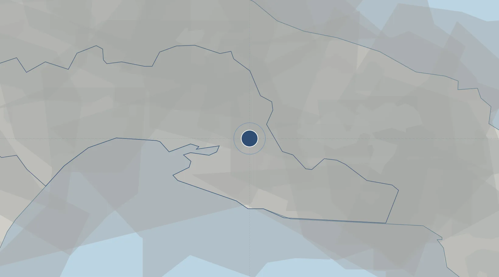
40.5175°, 17.4032°
10,499 ft
Longest runway
1
Runways
215 ft
Elevation

Runway & Layout

Taranto-Grottaglie Marcello Arlotta Airport runway & taxiway layout
Runway & taxiway layout — OpenStreetMap (ODbL) / OurAirports

Radio Frequencies

TWR
118.7 MHz
APP
118.7 MHz
OurAirports

Navaids

GRT NDB Grottaglie 331 kHz
OurAirports

Runways · 1

RunwayDimensions SurfaceTrue headingLit
17/35 10,499 × 148ft Asphalt 169°
OurAirports

Airport Specifications

IATA code
TAR
OurAirports
ICAO code
LIBG
OurAirports
Airport class
Medium airport
OurAirports
Scheduled service
No
OurAirports
Runway surface
Asphalt
OurAirports
Served city
Grottaglie
OurAirports

Location

Location of LIBG
Natural Earth 10m (public domain) · Taranto · LIBG · 40.52, 17.40GoogleOSMYandex

Nearby Logistics Neighbours

Cities
  1. 1Grottaglie3 km
  2. 2San Marzano di San Giuseppe11 km
  3. 3Sava18 km
  4. 4Taranto19 km
  5. 5Martina Franca21 km
Nearest neighbours — logibook spatial index (haversine) over the source coordinates
Ports
  1. 1Taranto18 km
  2. 2Monopoli49 km
  3. 3Brindisi51 km
  4. 4Mola Di Bari66 km
  5. 5Gallipoli71 km
Nearest neighbours — logibook spatial index (haversine) over the source coordinates
Trade Zones
  1. 1Adriatic Special Economic Zone (Foggia-Molise)80 km
  2. 2Basilicata Special Economic Zone157 km
  3. 3Puglia (Apulia) Special Economic Zone Area161 km
  4. 4Calabria Special Economic Zone168 km
  5. 5Vlora Technical and Economic Development Area173 km
Nearest neighbours — logibook spatial index (haversine) over the source coordinates
DatabookThe Record of Consolidated Knowledge
Italy beyond logistics?
Browse databook

All Sources

AirportsOurAirports
Public domain
Portsthe NGA World Port Index
Public domain (US gov)
LocationsUN/LOCODE
UN/LOCODE — free
Trade Zonesthe World Bank SEZ database
CC BY 4.0
Trade ZonesOpen Zone Map
CC BY
InfrastructureOpenStreetMap
ODbL 1.0
← Italy airports