Diversified Zone · Albania

Spitalle Spitalla Technical and Economic Development Area Active
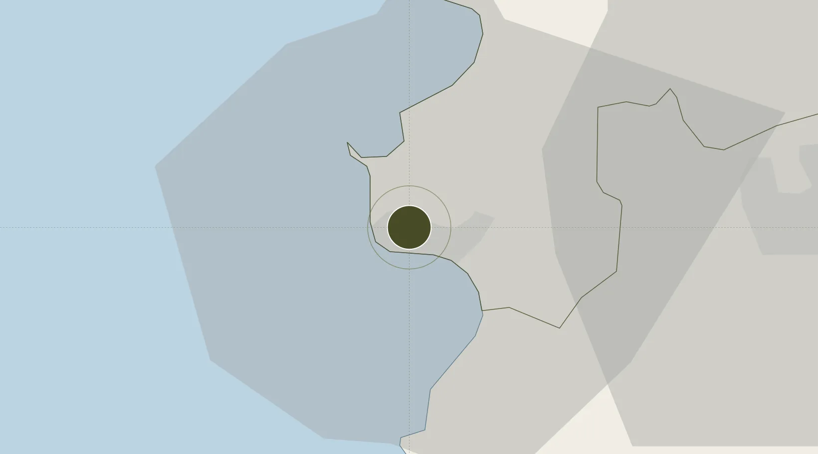
41.3361°, 19.4498°
209 ha
Zone area
2.2 km
Nearest port
24.2 km
Nearest airport

Gateway access

Nearest neighbours — logibook spatial index (haversine) over the source coordinates

Zone profile

Zone type
Diversified Zone
Open Zone Map
Region
Durrës
Open Zone Map
Status
Active
Open Zone Map
Management
Public
Open Zone Map
Operator
Albania Investment Development Agency
Open Zone Map
Legal framework
Law No. 7764 Dated 02.11.1993, Law No. 55/2015, Law No. 9789 Dated 19.07.2007, DCM 646: 22.07.2015, DCM 647: 22.07.2015
Open Zone Map

Location

Location of ozm-17
Natural Earth 10m (public domain) · Durrës · ozm-17 · 41.34, 19.45GoogleOSMYandex

Nearby Logistics Neighbours

Ports
  1. 1Durres2 km
  2. 2Porto Romano6 km
  3. 3Shengjin55 km
  4. 4Bar89 km
  5. 5Vlore97 km
Nearest neighbours — logibook spatial index (haversine) over the source coordinates
Airports
  1. 1Tirana International Airport Mother Teresa24 km
  2. 2Kuçovë Air Base73 km
  3. 3Ohrid St. Paul the Apostle Airport109 km
  4. 4Kukës International Airport112 km
  5. 5Podgorica Airport / Podgorica Golubovci Airbase115 km
Nearest neighbours — logibook spatial index (haversine) over the source coordinates
Cities
  1. 1Durrës0 km
  2. 2Romano Port4 km
  3. 3Shëngjin53 km
  4. 4Elbasan58 km
  5. 5Fier68 km
Nearest neighbours — logibook spatial index (haversine) over the source coordinates
Trade Zones
  1. 1Porto Romano Free Port Zone5 km
  2. 2Tirana Freezone22 km
  3. 3Lezhë Industrial Park53 km
  4. 4Shëngjin Industrial Complex54 km
  5. 5Elbasan Industrial Park55 km
Nearest neighbours — logibook spatial index (haversine) over the source coordinates
DatabookThe Record of Consolidated Knowledge
Albania beyond logistics?
Browse databook

All Sources

Trade ZonesOpen Zone Map
CC BY
Portsthe NGA World Port Index
Public domain (US gov)
AirportsOurAirports
Public domain
LocationsUN/LOCODE
UN/LOCODE — free
← Albania trade zones