Transport Functions
Port
Road
Hub Profile
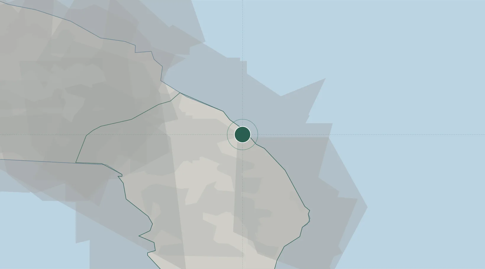
Place type
Populated place
Region
Apulia
Population
365
Time zone
Europe/Rome
Elevation
3 m
Location
Nearby Logistics Neighbours
Cities
- 1Santa Foca di Melendugno13 km
- 2Trepuzzi20 km
- 3Martano20 km
- 4Serrano26 km
- 5Corigliano d'Otranto26 km
Airports
DatabookThe Record of Consolidated Knowledge
Italy beyond logistics?