Transport Functions
Port
Road
Hub Profile
Region
LE
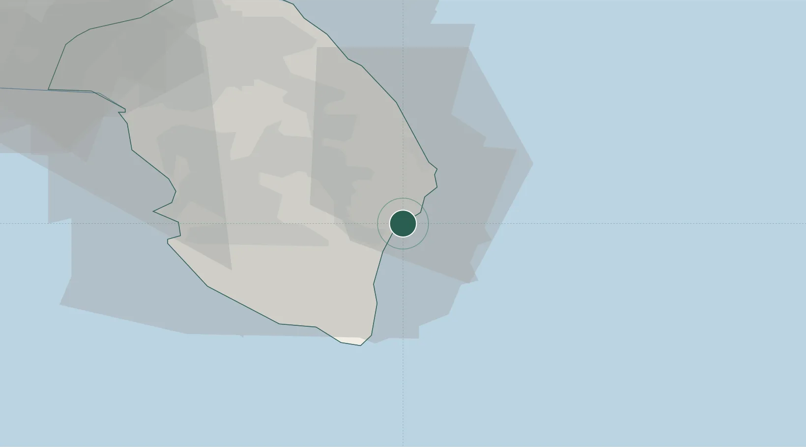
Location
Nearby Logistics Neighbours
Cities
- 1Castro Marina7 km
- 2Tricase13 km
- 3Corigliano d'Otranto21 km
- 4Martano23 km
- 5Gagliano del Capo23 km
Airports
Trade Zones
DatabookThe Record of Consolidated Knowledge
Italy beyond logistics?