About
Methodology
Sources
Licensing
English
EN
English
TR
Türkçe
DE
Deutsch
FR
Français
ES
Español
IT
Italiano
PT
Português
NL
Nederlands
PL
Polski
RU
Русский
UK
Українська
CS
Čeština
RO
Română
EL
Ελληνικά
BG
Български
AR
العربية
FA
فارسی
UR
اردو
HI
हिन्दी
BN
বাংলা
ID
Bahasa Indonesia
VI
Tiếng Việt
ZH
中文
JA
日本語
KO
한국어
logibook
/
Countries
/
Italy
/
Locations
/
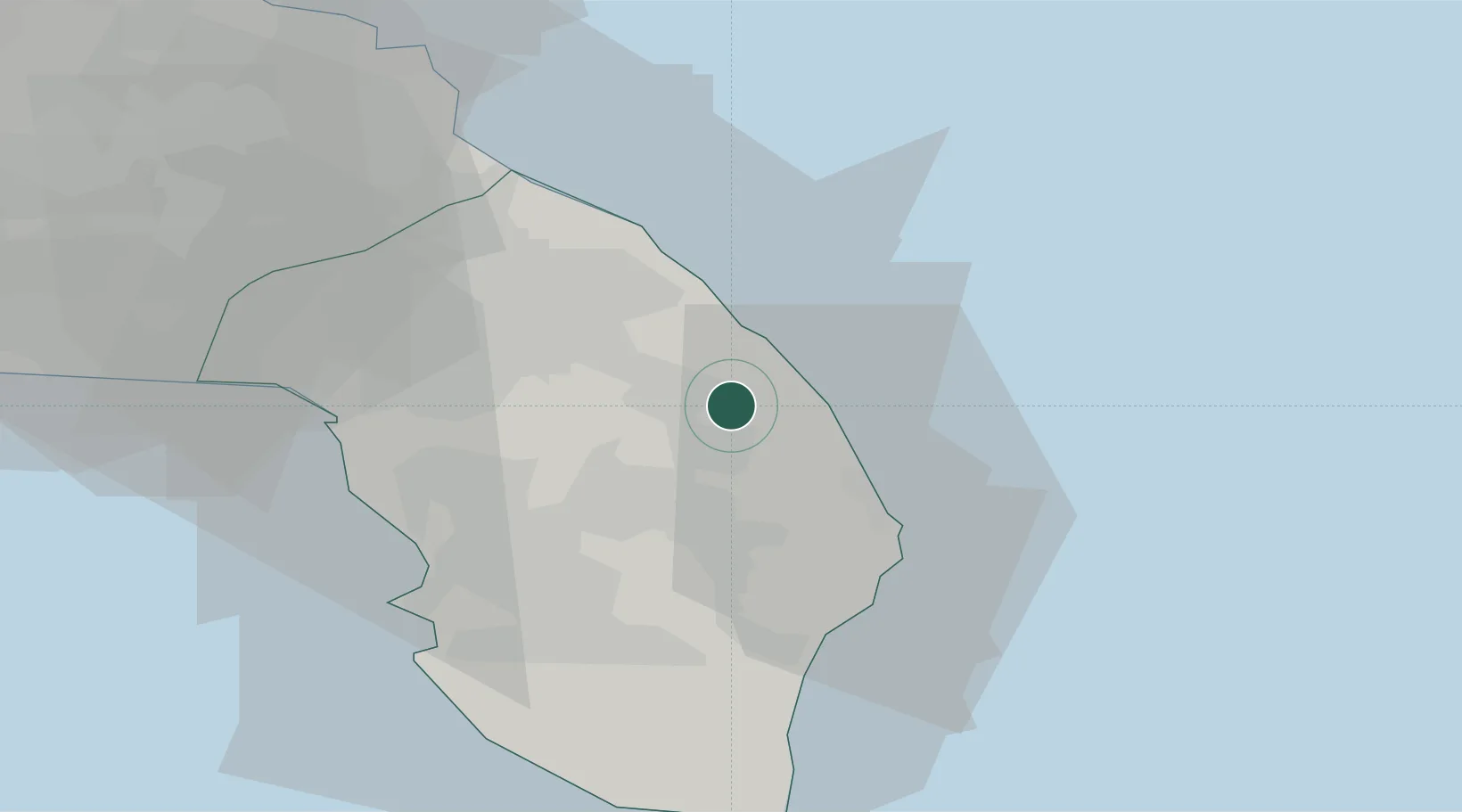
Santa Foca di Melendugno
UN/LOCODE hub ·
Italy
IT
SFM
Santa Foca di Melendugno
40.2667°, 18.3333°
2
Transport functions
Transport Functions
Port
Road
UN/LOCODE
Location
Natural Earth 10m (public domain) · Lecce · ITSFM · 40.27, 18.33
Google ↗
OSM ↗
Yandex ↗
Nearby Logistics Neighbours
Cities
1
Martano
8 km
2
San Cataldo
13 km
3
Corigliano d'Otranto
15 km
4
Galatina
18 km
5
Serrano
22 km
Nearest neighbours — logibook spatial index (haversine) over the source coordinates
Ports
1
Otranto
19 km
2
Gallipoli
38 km
3
Brindisi
52 km
4
Taranto
99 km
5
Vlore
101 km
Nearest neighbours — logibook spatial index (haversine) over the source coordinates
Airports
1
Lecce Galatina Air Base / Galatina Fortunato Cesari Airport
17 km
2
Brindisi Airport
54 km
3
Taranto-Grottaglie Marcello Arlotta Airport
84 km
4
Gioia del Colle Antonio Ramirez Air Base
131 km
5
Kuçovë Air Base
144 km
Nearest neighbours — logibook spatial index (haversine) over the source coordinates
Trade Zones
1
Vlora Technical and Economic Development Area
98 km
2
Fier Freezone
116 km
3
Spitalle Spitalla Technical and Economic Development Area
152 km
4
Porto Romano Free Port Zone
154 km
5
Adriatic Special Economic Zone (Foggia-Molise)
155 km
Nearest neighbours — logibook spatial index (haversine) over the source coordinates
Data
book
The Record of Consolidated Knowledge
Italy beyond logistics?
Browse databook
→
All Sources
Locations
UN/LOCODE
UN/LOCODE — free
↗
Ports
the NGA World Port Index
Public domain (US gov)
↗
Airports
OurAirports
Public domain
↗
Trade Zones
the World Bank SEZ database
CC BY 4.0
↗
Trade Zones
Open Zone Map
CC BY
↗
← Italy locations