Transport Functions
Multimodal
Hub Profile
Place type
District seat
Region
Apulia
Population
9,320
Time zone
Europe/Rome
Elevation
91 m
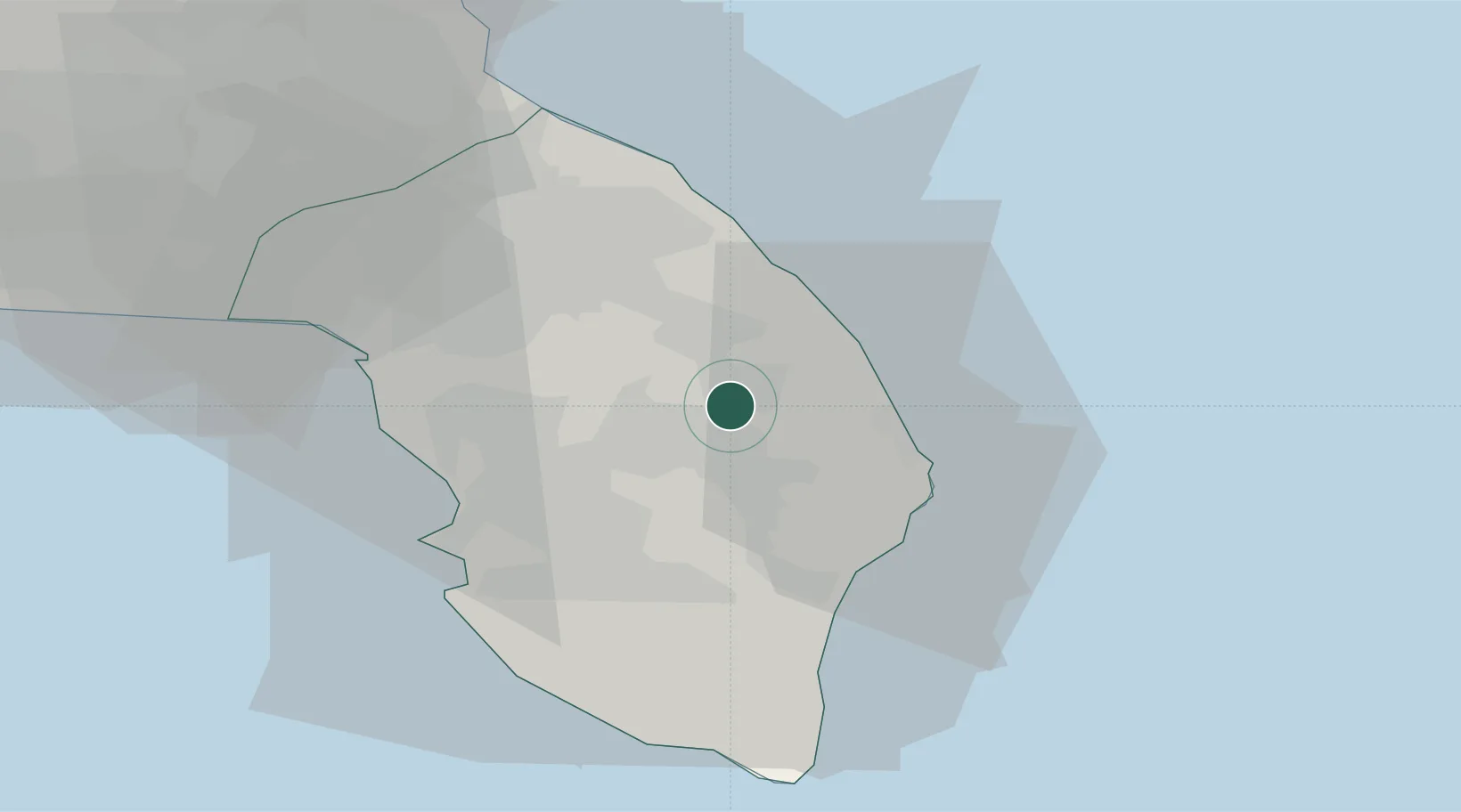
Location
Nearby Logistics Neighbours
Cities
- 1Corigliano d'Otranto7 km
- 2Santa Foca di Melendugno8 km
- 3Galatina12 km
- 4Aradeo16 km
- 5San Cataldo20 km
Airports
Trade Zones
DatabookThe Record of Consolidated Knowledge
Italy beyond logistics?