Medium airport · Albania
Kuçovë Air BaseLAKV
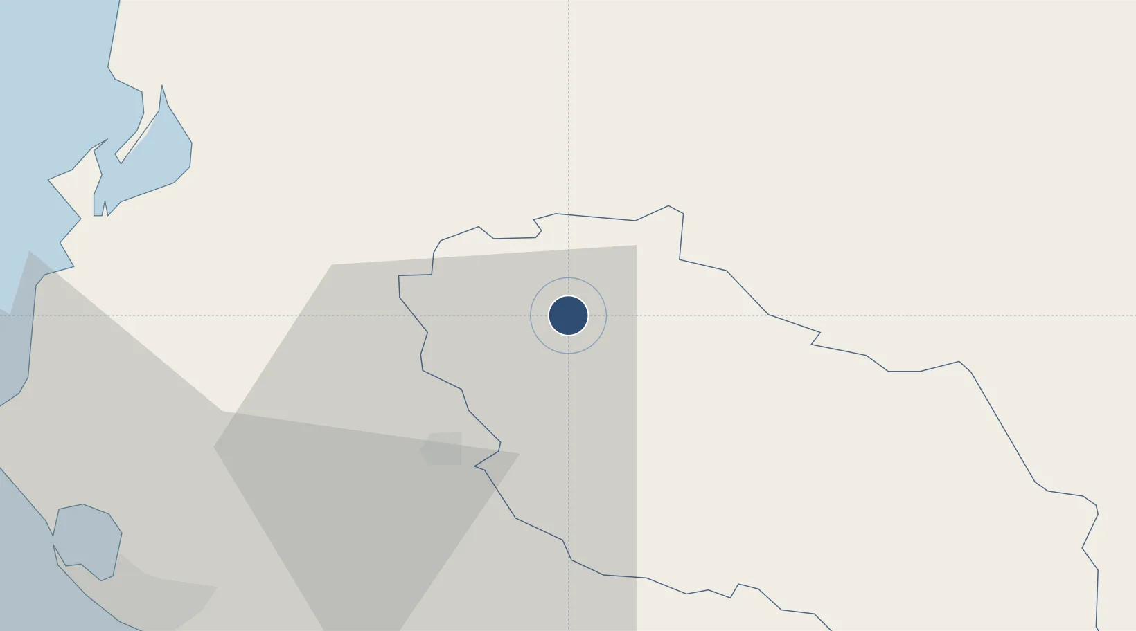
40.7719°, 19.9019°
9,318 ft
Longest runway
1
Runways
135 ft
Elevation
Runway & Layout

Radio Frequencies
TWR
118.375 MHz
Kuçovë Air Base
TWR
124.5 MHz
Runways · 1
| Runway | Dimensions | Surface | True heading | Lit |
|---|---|---|---|---|
| 14/32 | 9,318 × 220ft | Concrete | 137° | ✓ |
Airport Specifications
ICAO code
LAKV
Airport class
Medium airport
Scheduled service
No
Runway surface
Concrete
Served city
Kuçovë
Location
Nearby Logistics Neighbours
Airports
Ports
- 1Vlore48 km
- 2Durres72 km
- 3Porto Romano79 km
- 4Shengjin119 km
- 5Kerkira129 km
Trade Zones
- 1Fier Freezone28 km
- 2Elbasan Industrial Park37 km
- 3Vlora Technical and Economic Development Area50 km
- 4Pogradec Freezone65 km
- 5Tirana Freezone68 km
DatabookThe Record of Consolidated Knowledge
Albania beyond logistics?