Free Trade Zone · Albania

Fier Freezone Inactive
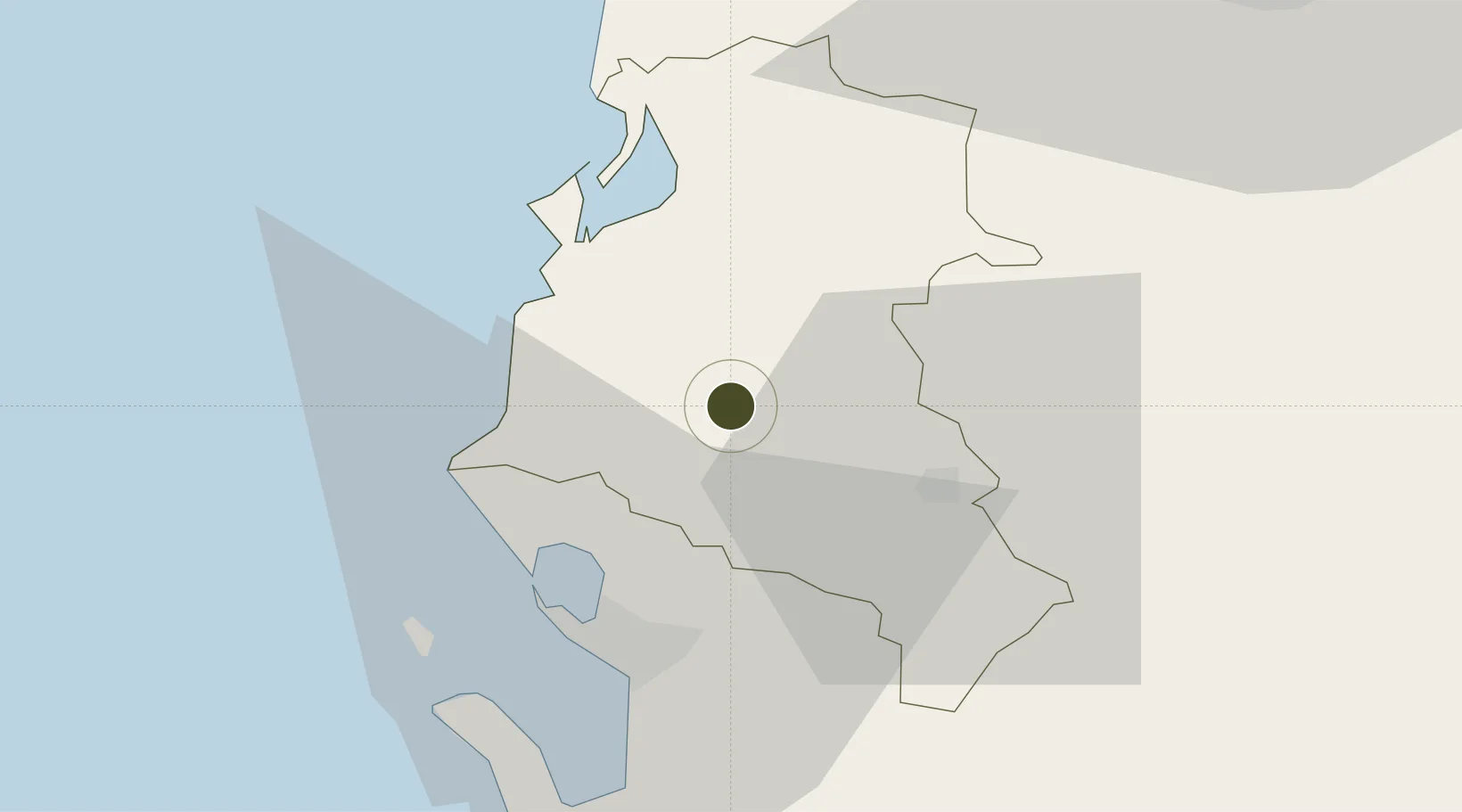
40.7144°, 19.5763°
14 ha
Zone area
28.3 km
Nearest port
28.2 km
Nearest airport

Gateway access

Nearest neighbours — logibook spatial index (haversine) over the source coordinates

Zone profile

Zone type
Free Trade Zone
Open Zone Map
Region
Fier
Open Zone Map
Status
Inactive
Open Zone Map
Management
Public-Private Partnership
Open Zone Map
Operator
Freezone Albania Sh.p.k.
Open Zone Map
Legal framework
Law No. 7764 Dated 02.11.1993, Law No. 55/2015, Law No. 9789 Dated 19.07.2007, Dcm 646: 22.07.2015, Dcm 647: 22.07.2015
Open Zone Map

Location

Location of ozm-27
Natural Earth 10m (public domain) · Fier · ozm-27 · 40.71, 19.58GoogleOSMYandex

Nearby Logistics Neighbours

Ports
  1. 1Vlore28 km
  2. 2Durres68 km
  3. 3Porto Romano76 km
  4. 4Otranto111 km
  5. 5Shengjin123 km
Nearest neighbours — logibook spatial index (haversine) over the source coordinates
Cities
  1. 1Fier2 km
  2. 2Vlorë29 km
  3. 3Berat32 km
  4. 4Elbasan60 km
  5. 5Himare66 km
Nearest neighbours — logibook spatial index (haversine) over the source coordinates
Trade Zones
  1. 1Vlora Technical and Economic Development Area28 km
  2. 2Elbasan Industrial Park56 km
  3. 3Spitalle Spitalla Technical and Economic Development Area70 km
  4. 4Tirana Freezone74 km
  5. 5Porto Romano Free Port Zone75 km
Nearest neighbours — logibook spatial index (haversine) over the source coordinates
DatabookThe Record of Consolidated Knowledge
Albania beyond logistics?
Browse databook

All Sources

Trade ZonesOpen Zone Map
CC BY
Portsthe NGA World Port Index
Public domain (US gov)
AirportsOurAirports
Public domain
LocationsUN/LOCODE
UN/LOCODE — free
← Albania trade zones