Seaport · Italy

BrindisiITBDS

40.6500°, 17.9833°
14.0 m
Channel depth
8.5
Port liner connectivity
Brindisi is also a UN/LOCODE logistics hub →

Channel & Berth Profile

SEA LEVEL (CD)CHANNEL BEDOil terminal · 9.4 mCargo pier · 11.0 mChannel · 14.0 mAnchorage · 23.2 m
NGA World Port Index

Pilotage, Tugs & Services

Pilotage compulsoryYES
Pilotage availableYES
Pilotage advisableYES
Tug assistanceYES
Potable waterYES
Diesel bunkersYES
MedicalYES
Garbage disposalYES
NGA World Port Index

Facilities & Capabilities

Container
Ro-Ro
Liquid bulk
Dry bulk
Oil terminal
Break bulk
Dry dockNO
RepairsNO
BunkeringYES
Rail linkYES
Dangerous cargo
ISPS security
NGA World Port Index

Harbour Specifications

Harbour size
Large
NGA World Port Index
Harbour type
Coastal (Breakwater)
NGA World Port Index
Shelter
Fair
NGA World Port Index
Water body
Adriatic Sea; Mediterranean Sea; North Atlantic Ocean
NGA World Port Index
Tidal range
1 m
NGA World Port Index
Overhead limit
Yes
NGA World Port Index
Pilotage
Yes
NGA World Port Index

Liner Connectivity

8.5
PLSCI

Port Liner Shipping Connectivity Index for Brindisi, as published by UNCTAD for the latest available quarter. Higher values indicate stronger scheduled liner-shipping integration.

Shown relative to the highest per-port PLSCI in the dataset (1,657.9).
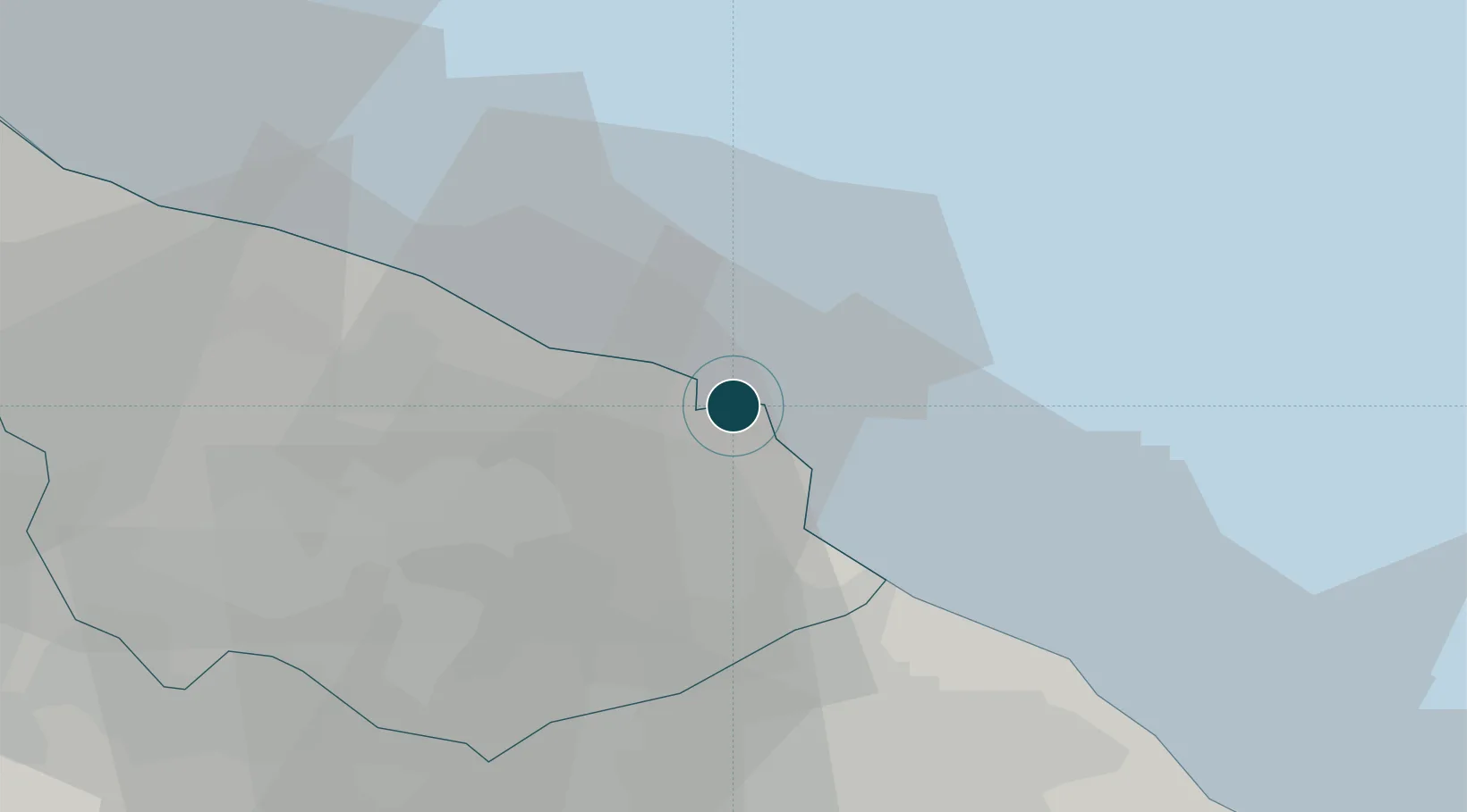
UNCTAD · Port Liner Shipping Connectivity Index

Location

Location of ITBDS
Natural Earth 10m (public domain) · Brindisi · ITBDS · 40.65, 17.98GoogleOSMYandex

Nearby Logistics Neighbours

Ports
  1. 1Gallipoli66 km
  2. 2Monopoli66 km
  3. 3Taranto69 km
  4. 4Otranto70 km
  5. 5Mola Di Bari87 km
Nearest neighbours — logibook spatial index (haversine) over the source coordinates
Cities
  1. 1San Donaci23 km
  2. 2Latiano25 km
  3. 3Trepuzzi29 km
  4. 4San Cataldo40 km
  5. 5Manduria41 km
Nearest neighbours — logibook spatial index (haversine) over the source coordinates
Trade Zones
  1. 1Adriatic Special Economic Zone (Foggia-Molise)107 km
  2. 2Vlora Technical and Economic Development Area125 km
  3. 3Fier Freezone135 km
  4. 4Spitalle Spitalla Technical and Economic Development Area145 km
  5. 5Porto Romano Free Port Zone146 km
Nearest neighbours — logibook spatial index (haversine) over the source coordinates
DatabookThe Record of Consolidated Knowledge
Italy beyond logistics?
Browse databook

All Sources

Portsthe NGA World Port Index
Public domain (US gov)
Logistics performanceUNCTAD
CC BY 3.0 IGO
AirportsOurAirports
Public domain
LocationsUN/LOCODE
UN/LOCODE — free
Trade Zonesthe World Bank SEZ database
CC BY 4.0
Trade ZonesOpen Zone Map
CC BY
← Italy ports