UN/LOCODE hub · Italy
ITZBP

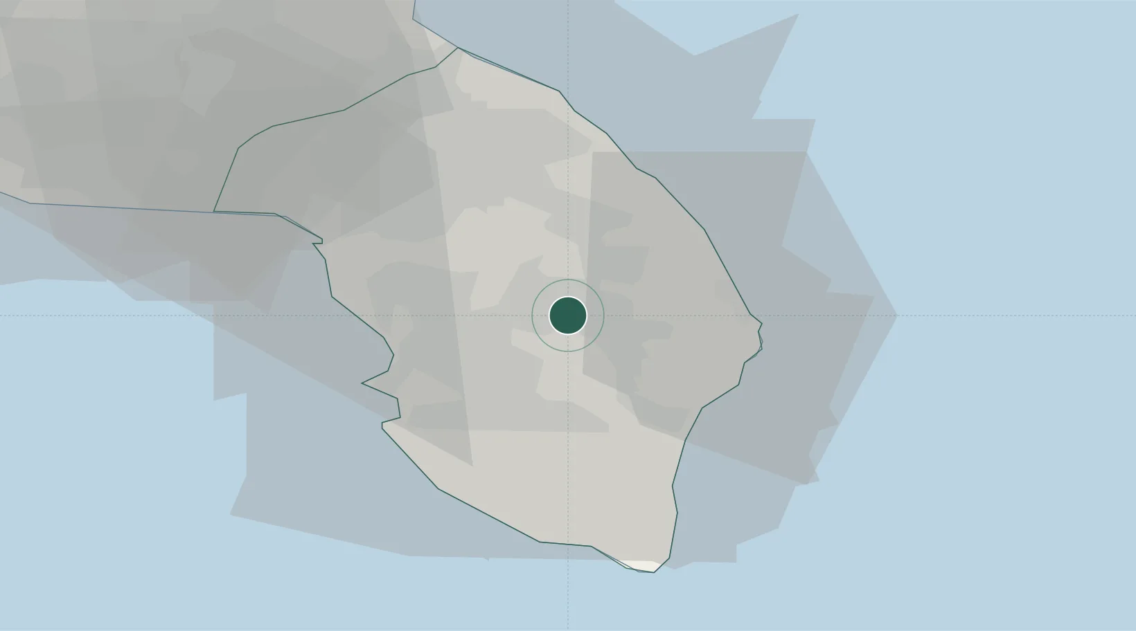
Corigliano d'Otranto

40.1500°, 18.2500°
5,313
Population
1
Transport functions

Transport Functions

Multimodal
UN/LOCODE

Hub Profile

Place type
District seat
GeoNames
Region
Apulia
GeoNames
Population
5,313
GeoNames
Time zone
Europe/Rome
GeoNames
Elevation
97 m
GeoNames

Location

Location of ITZBP
Natural Earth 10m (public domain) · Apulia · ITZBP · 40.15, 18.25GoogleOSMYandex

Nearby Logistics Neighbours

Cities
  1. 1Martano7 km
  2. 2Galatina7 km
  3. 3Aradeo10 km
  4. 4Santa Foca di Melendugno15 km
  5. 5Casarano18 km
Nearest neighbours — logibook spatial index (haversine) over the source coordinates
Ports
  1. 1Otranto21 km
  2. 2Gallipoli25 km
  3. 3Brindisi60 km
  4. 4Taranto96 km
  5. 5Vlore112 km
Nearest neighbours — logibook spatial index (haversine) over the source coordinates
Trade Zones
  1. 1Vlora Technical and Economic Development Area108 km
  2. 2Fier Freezone129 km
  3. 3Adriatic Special Economic Zone (Foggia-Molise)158 km
  4. 4Gjirokastër Freezone163 km
  5. 5Spitalle Spitalla Technical and Economic Development Area166 km
Nearest neighbours — logibook spatial index (haversine) over the source coordinates
DatabookThe Record of Consolidated Knowledge
Italy beyond logistics?
Browse databook

All Sources

LocationsUN/LOCODE
UN/LOCODE — free
LocationsGeoNames
CC BY 4.0
Portsthe NGA World Port Index
Public domain (US gov)
AirportsOurAirports
Public domain
Trade Zonesthe World Bank SEZ database
CC BY 4.0
Trade ZonesOpen Zone Map
CC BY
← Italy locations