Large airport · Italy

Brindisi AirportLIBR
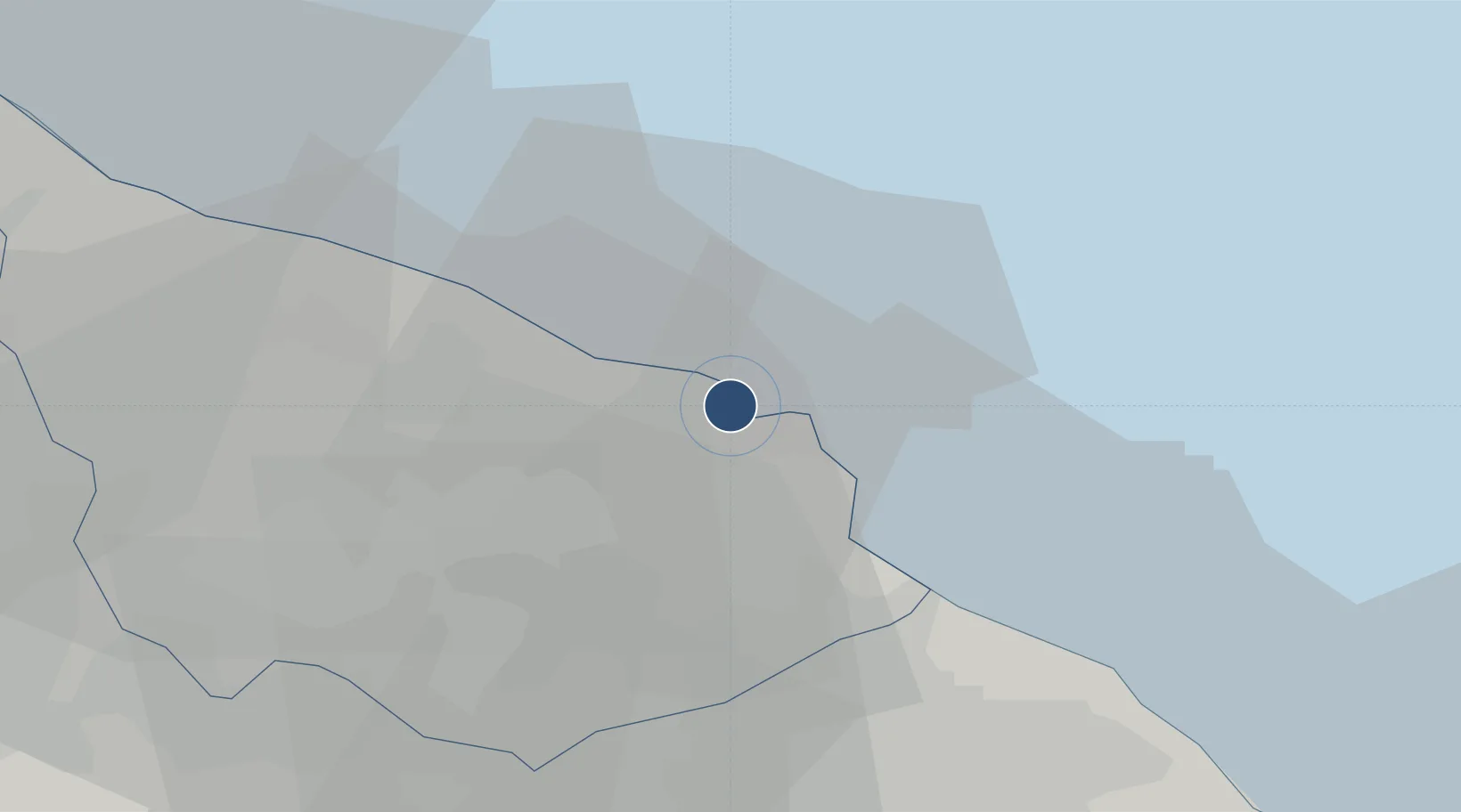
40.6576°, 17.9470°
10,000 ft
Longest runway
2
Runways
47 ft
Elevation

Runway & Layout

Brindisi Airport runway & taxiway layout
Runway & taxiway layout — OpenStreetMap (ODbL) / OurAirports

Radio Frequencies

TWR
118.1 MHz
BRINDISI TWR
GND
31.355 MHz
APP
36.365 MHz
BRINDISI APP
APP
118.4 MHz
BRINDISI APP
ILS RWY 32
109.5 MHz
OurAirports

Navaids

BRD VORTAC Brindisi 113.20 MHz
BRD NDB Brindisi 364 kHz
OurAirports

Runways · 2

RunwayDimensions SurfaceTrue headingLit
13/31 10,000 × 148ft Asphalt 137°
05/23 5,892 × 148ft Asphalt 053°
OurAirports

Airport Specifications

IATA code
BDS
OurAirports
ICAO code
LIBR
OurAirports
Airport class
Large airport
OurAirports
Scheduled service
Yes
OurAirports
Runway surface
Asphalt
OurAirports
Served city
Brindisi
OurAirports

Location

Location of LIBR
Natural Earth 10m (public domain) · Brindisi · LIBR · 40.66, 17.95GoogleOSMYandex

Nearby Logistics Neighbours

Cities
  1. 1Brindisi3 km
  2. 2Latiano23 km
  3. 3San Donaci23 km
  4. 4Trepuzzi30 km
  5. 5Manduria39 km
Nearest neighbours — logibook spatial index (haversine) over the source coordinates
Ports
  1. 1Brindisi3 km
  2. 2Monopoli63 km
  3. 3Gallipoli67 km
  4. 4Taranto67 km
  5. 5Otranto73 km
Nearest neighbours — logibook spatial index (haversine) over the source coordinates
Trade Zones
  1. 1Adriatic Special Economic Zone (Foggia-Molise)104 km
  2. 2Vlora Technical and Economic Development Area128 km
  3. 3Fier Freezone138 km
  4. 4Spitalle Spitalla Technical and Economic Development Area147 km
  5. 5Porto Romano Free Port Zone148 km
Nearest neighbours — logibook spatial index (haversine) over the source coordinates
DatabookThe Record of Consolidated Knowledge
Italy beyond logistics?
Browse databook

All Sources

AirportsOurAirports
Public domain
Portsthe NGA World Port Index
Public domain (US gov)
LocationsUN/LOCODE
UN/LOCODE — free
Trade Zonesthe World Bank SEZ database
CC BY 4.0
Trade ZonesOpen Zone Map
CC BY
InfrastructureOpenStreetMap
ODbL 1.0
← Italy airports