Transport Functions
Port
Road
Hub Profile
Place type
Provincial seat
Region
Sardinia
Population
31,671
Time zone
Europe/Rome
Elevation
9 m
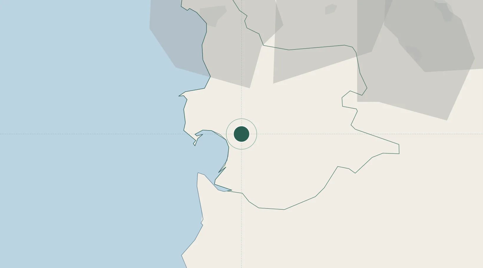
Location
Nearby Logistics Neighbours
Cities
- 1Santa Giusta4 km
- 2Guspini41 km
- 3Macomer43 km
- 4Bosa45 km
- 5Villacidro51 km
Ports
- 1Alghero78 km
- 2Porto Vesme81 km
- 3Carloforte87 km
- 4Cagliari90 km
- 5Sant'Antioco94 km
Airports
- 1Decimomannu Air Base69 km
- 2Cagliari Elmas Airport82 km
- 3Alghero-Fertilia Airport86 km
- 4Tortolì Airport92 km
- 5Olbia Costa Smeralda Airport136 km
Trade Zones
- 1Free Zone of Portovesme81 km
- 2Sardinia Special Economic Zone Area84 km
- 3Bizerte Park of Economic Activities313 km
- 4ZFU Toulon421 km
- 5ZFU La Seyne-sur-Mer422 km
DatabookThe Record of Consolidated Knowledge
Italy beyond logistics?