Transport Functions
Multimodal
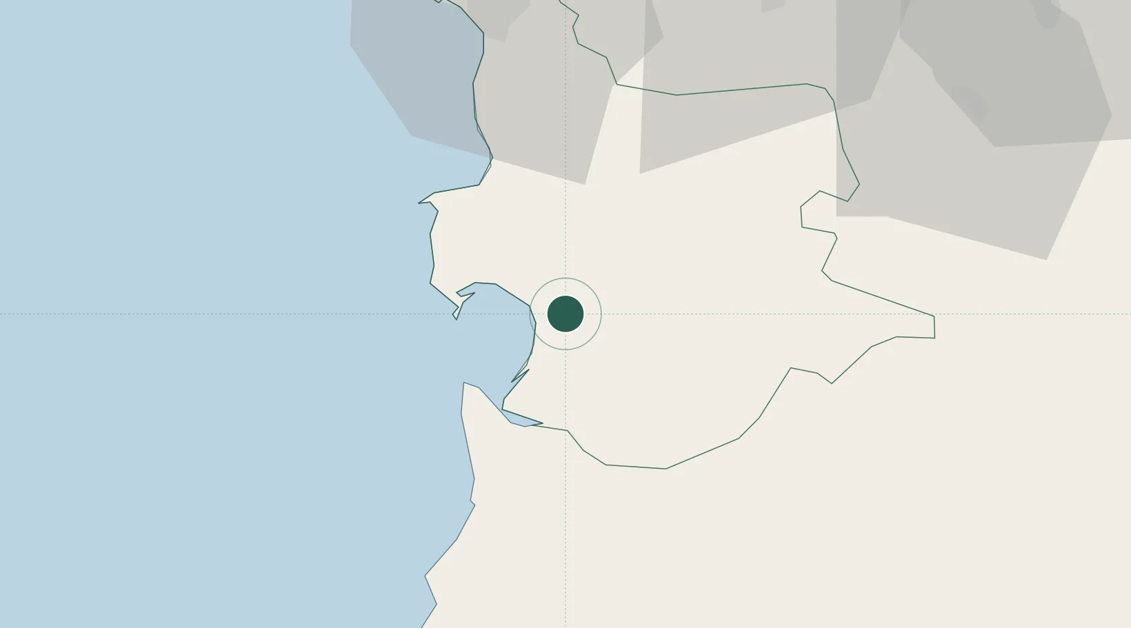
Hub Profile
Place type
District seat
Region
Sardinia
Population
4,455
Time zone
Europe/Rome
Elevation
10 m
Location
Nearby Logistics Neighbours
Cities
- 1Oristano4 km
- 2Guspini37 km
- 3Macomer47 km
- 4Villacidro48 km
- 5Bosa49 km
Ports
- 1Porto Di Oristano4 km
- 2Porto Vesme77 km
- 3Alghero82 km
- 4Carloforte84 km
- 5Cagliari87 km
Airports
- 1Decimomannu Air Base65 km
- 2Cagliari Elmas Airport79 km
- 3Alghero-Fertilia Airport89 km
- 4Tortolì Airport93 km
- 5Olbia Costa Smeralda Airport139 km
Trade Zones
- 1Free Zone of Portovesme77 km
- 2Sardinia Special Economic Zone Area87 km
- 3Bizerte Park of Economic Activities309 km
- 4ZFU Toulon424 km
- 5ZFU La Seyne-sur-Mer425 km
DatabookThe Record of Consolidated Knowledge
Italy beyond logistics?