UN/LOCODE hub · Italy
ITAHO

Alghero

40.5500°, 8.3167°
34,261
Population
3
Transport functions

Transport Functions

Port
Rail
Road
Alghero is also a profiled seaport →
UN/LOCODE

Hub Profile

Place type
District seat
GeoNames
Region
Sardinia
GeoNames
Population
34,261
GeoNames
Time zone
Europe/Rome
GeoNames
Elevation
7 m
GeoNames

Location

Location of ITAHO
Natural Earth 10m (public domain) · Sardinia · ITAHO · 40.55, 8.32GoogleOSMYandex

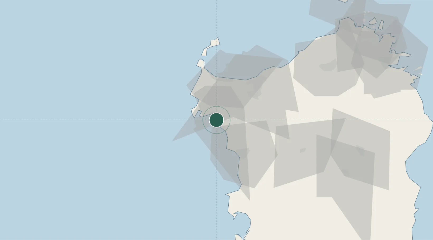
Nearby Logistics Neighbours

Cities
  1. 1Porto Conte Torre Nuova11 km
  2. 2Sassari27 km
  3. 3Bosa32 km
  4. 4Stintino43 km
  5. 5Macomer49 km
Nearest neighbours — logibook spatial index (haversine) over the source coordinates
Ports
  1. 1Porto Torres34 km
  2. 2Porto Di Oristano79 km
  3. 3Olbia110 km
  4. 4Bonifacio117 km
  5. 5Maddalena117 km
Nearest neighbours — logibook spatial index (haversine) over the source coordinates
Airports
  1. 1Alghero-Fertilia Airport9 km
  2. 2Olbia Costa Smeralda Airport109 km
  3. 3Figari Sud-Corse Airport125 km
  4. 4Tortolì Airport136 km
  5. 5Decimomannu Air Base144 km
Nearest neighbours — logibook spatial index (haversine) over the source coordinates
Trade Zones
  1. 1Sardinia Special Economic Zone Area58 km
  2. 2Free Zone of Portovesme152 km
  3. 3ZFU Toulon347 km
  4. 4ZFU La Seyne-sur-Mer348 km
  5. 5ZFU LAriane365 km
Nearest neighbours — logibook spatial index (haversine) over the source coordinates
DatabookThe Record of Consolidated Knowledge
Italy beyond logistics?
Browse databook

All Sources

LocationsUN/LOCODE
UN/LOCODE — free
LocationsGeoNames
CC BY 4.0
Portsthe NGA World Port Index
Public domain (US gov)
AirportsOurAirports
Public domain
Trade Zonesthe World Bank SEZ database
CC BY 4.0
Trade ZonesOpen Zone Map
CC BY
← Italy locations