Transport Functions
Multimodal
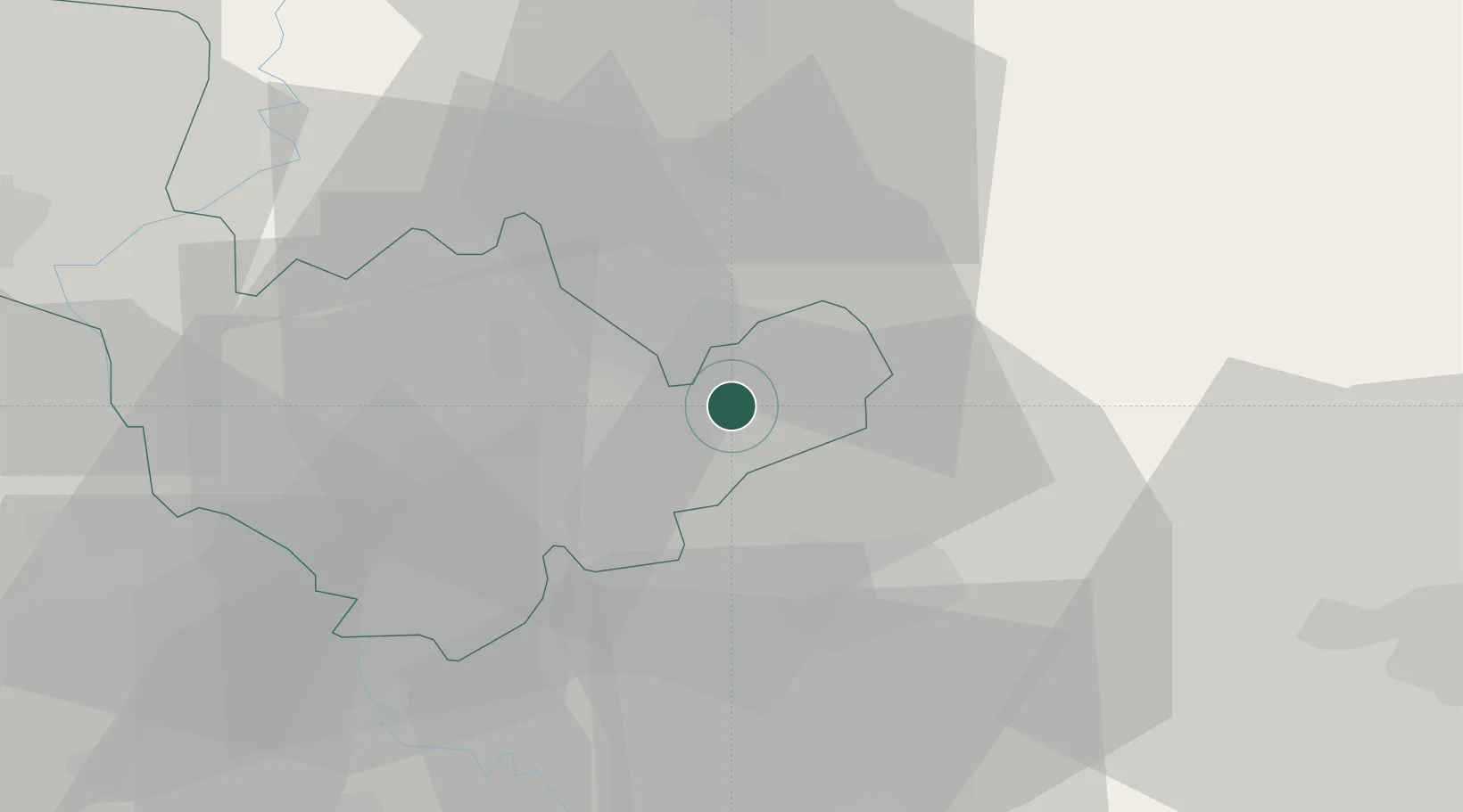
Hub Profile
Place type
District seat
Region
Umbria
Population
1,520
Time zone
Europe/Rome
Elevation
243 m
Location
Nearby Logistics Neighbours
Cities
- 1San Gemini18 km
- 2Vazia20 km
- 3Castelfranco21 km
- 4Acquasparta21 km
- 5Narni22 km
Ports
- 1Civitavecchia98 km
- 2San Benedetto Del Tronto101 km
- 3Giulianova101 km
- 4Fiumicino101 km
- 5Civitanova Marche113 km
Airports
Trade Zones
DatabookThe Record of Consolidated Knowledge
Italy beyond logistics?