Seaport · Italy

GiulianovaITGUI

42.7560°, 13.9790°
Giulianova is also a UN/LOCODE logistics hub →

Channel & Berth Profile

NGA World Port Index

Facilities & Capabilities

Container
Ro-Ro
Liquid bulk
Dry bulk
Oil terminal
Break bulk
Dry dock
Repairs
Bunkering
Rail link
Dangerous cargo
ISPS security
NGA World Port Index

Harbour Specifications

Harbour size
Small
NGA World Port Index
Water body
Adriatic Sea; Mediterranean Sea; North Atlantic Ocean
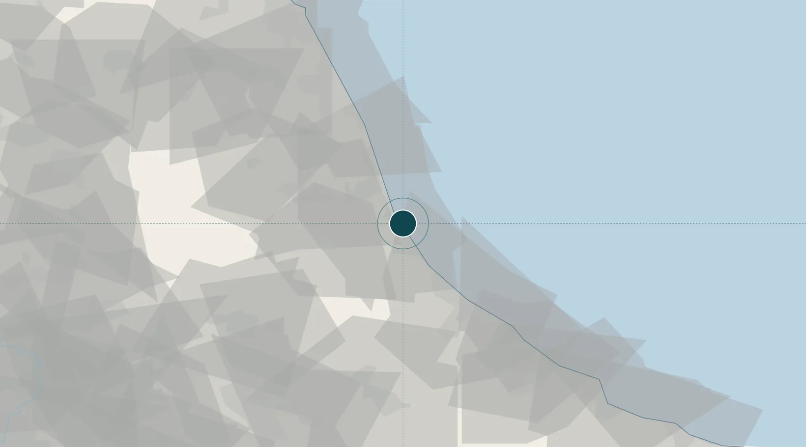
NGA World Port Index

Location

Location of ITGUI
Natural Earth 10m (public domain) · Teramo · ITGUI · 42.76, 13.98GoogleOSMYandex

Nearby Logistics Neighbours

Ports
  1. 1San Benedetto Del Tronto24 km
  2. 2Pescara39 km
  3. 3Ortona58 km
  4. 4Civitanova Marche65 km
  5. 5Vasto93 km
Nearest neighbours — logibook spatial index (haversine) over the source coordinates
Cities
  1. 1Notaresco14 km
  2. 2Sant'Omero15 km
  3. 3Casoli16 km
  4. 4Sant'Atto16 km
  5. 5Villa Rosa17 km
Nearest neighbours — logibook spatial index (haversine) over the source coordinates
Airports
  1. 1Abruzzo Airport40 km
  2. 2Marche Airport108 km
  3. 3Perugia San Francesco d'Assisi – Umbria International Airport125 km
  4. 4Guidonia Air Base133 km
  5. 5San Domino Island Heliport143 km
Nearest neighbours — logibook spatial index (haversine) over the source coordinates
Trade Zones
  1. 1Abruzzo Special Economic Zone74 km
  2. 2Ionian Special Economic Zone116 km
  3. 3Port of Split Free Zone215 km
  4. 4Split-Dalmatia Free Zone219 km
  5. 5Campania Special Economic Zone (Naples and Salerno)225 km
Nearest neighbours — logibook spatial index (haversine) over the source coordinates
DatabookThe Record of Consolidated Knowledge
Italy beyond logistics?
Browse databook

All Sources

Portsthe NGA World Port Index
Public domain (US gov)
AirportsOurAirports
Public domain
LocationsUN/LOCODE
UN/LOCODE — free
Trade Zonesthe World Bank SEZ database
CC BY 4.0
Trade ZonesOpen Zone Map
CC BY
← Italy ports