UN/LOCODE hub · Türkiye
TRPLP

Poliport

37.9833°, 42.0500°
1
Transport functions

Transport Functions

Port
UN/LOCODE

Hub Profile

Region
41
GeoNames

Location

Location of TRPLP
Natural Earth 10m (public domain) · 41 · TRPLP · 37.98, 42.05GoogleOSMYandex

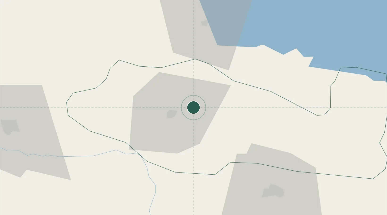
Nearby Logistics Neighbours

Cities
  1. 1Kopru98 km
  2. 2Zakho111 km
  3. 3Cihangir114 km
  4. 4Demirkapi123 km
  5. 5Nusaybin126 km
Nearest neighbours — logibook spatial index (haversine) over the source coordinates
Ports
  1. 1Rize367 km
  2. 2Hopa386 km
  3. 3Trabzon390 km
  4. 4Batumi409 km
  5. 5Giresun454 km
Nearest neighbours — logibook spatial index (haversine) over the source coordinates
Airports
  1. 1Siirt Airport18 km
  2. 2Şırnak Şerafettin Elçi Airport69 km
  3. 3Batman Airport82 km
  4. 4Muş Airport92 km
  5. 5Van Ferit Melen Airport124 km
Nearest neighbours — logibook spatial index (haversine) over the source coordinates
Trade Zones
  1. 1Al Yarubiyah Free Zone130 km
  2. 2Mardin Free Zone145 km
  3. 3Salmas Special Economic Zone236 km
  4. 4Maku Mako Trade-Industrial Free Zone255 km
  5. 5West Islamabad Special Economic Zone299 km
Nearest neighbours — logibook spatial index (haversine) over the source coordinates
DatabookThe Record of Consolidated Knowledge
Türkiye beyond logistics?
Browse databook

All Sources

LocationsUN/LOCODE
UN/LOCODE — free
Portsthe NGA World Port Index
Public domain (US gov)
AirportsOurAirports
Public domain
Trade Zonesthe World Bank SEZ database
CC BY 4.0
Trade ZonesOpen Zone Map
CC BY
← Türkiye locations