Transport Functions
Airport
Multimodal
Hub Profile
Place type
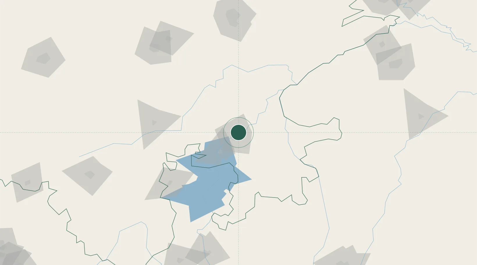
Populated place
Region
Rajasthan
Population
1,001,694
Time zone
Asia/Kolkata
Elevation
267 m
Logistics facilities
2
Location
Nearby Logistics Neighbours
Cities
- 1Jaipur-Sitapura21 km
- 2Riico SEZ-I/Sitapura63 km
- 3Bhilwara81 km
- 4Tonk105 km
- 5Bargawan127 km
Airports
- 1Kota Airport8 km
- 2Jaipur International Airport178 km
- 3Kishangarh Airport Ajmer186 km
- 4Maharana Pratap Airport211 km
- 5Raja Bhoj International Airport261 km
Trade Zones
DatabookThe Record of Consolidated Knowledge
India beyond logistics?