UN/LOCODE hub · India
INJSZ

Jaipur-Sitapura

25.2833°, 75.6833°
2
Transport functions

Transport Functions

Road
Multimodal
UN/LOCODE

Hub Profile

Region
RJ
GeoNames

Location

Location of INJSZ
Natural Earth 10m (public domain) · RJ · INJSZ · 25.28, 75.68GoogleOSMYandex

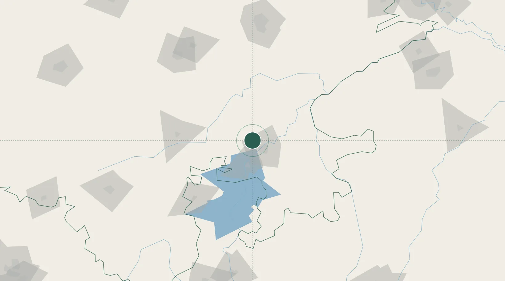
Nearby Logistics Neighbours

Cities
  1. 1Kota21 km
  2. 2Riico SEZ-I/Sitapura51 km
  3. 3Bhilwara61 km
  4. 4Tonk99 km
  5. 5Bargawan143 km
Nearest neighbours — logibook spatial index (haversine) over the source coordinates
Ports
  1. 1Dahej512 km
  2. 2Bhavnagar526 km
  3. 3Magdalla549 km
  4. 4Hazira562 km
  5. 5Navlakhi591 km
Nearest neighbours — logibook spatial index (haversine) over the source coordinates
Airports
  1. 1Kota Airport21 km
  2. 2Kishangarh Airport Ajmer170 km
  3. 3Jaipur International Airport172 km
  4. 4Maharana Pratap Airport195 km
  5. 5Raja Bhoj International Airport278 km
Nearest neighbours — logibook spatial index (haversine) over the source coordinates
Trade Zones
  1. 1Jaipur Special Economic Zone169 km
  2. 2Mahindra Special Economic Zone169 km
  3. 3Mahindra World City (Jaipur) Ltd.169 km
  4. 4Parsvnath City274 km
  5. 5Impetus Infotech (India) Private Limited285 km
Nearest neighbours — logibook spatial index (haversine) over the source coordinates
DatabookThe Record of Consolidated Knowledge
India beyond logistics?
Browse databook

All Sources

LocationsUN/LOCODE
UN/LOCODE — free
Portsthe NGA World Port Index
Public domain (US gov)
AirportsOurAirports
Public domain
Trade Zonesthe World Bank SEZ database
CC BY 4.0
Trade ZonesOpen Zone Map
CC BY
← India locations