UN/LOCODE hub · India
INASH

Anandpur Sahib

31.2500°, 76.5000°
1
Transport functions

Transport Functions

Multimodal
UN/LOCODE

Hub Profile

Region
PB
GeoNames

Location

Location of INASH
Natural Earth 10m (public domain) · PB · INASH · 31.25, 76.50GoogleOSMYandex

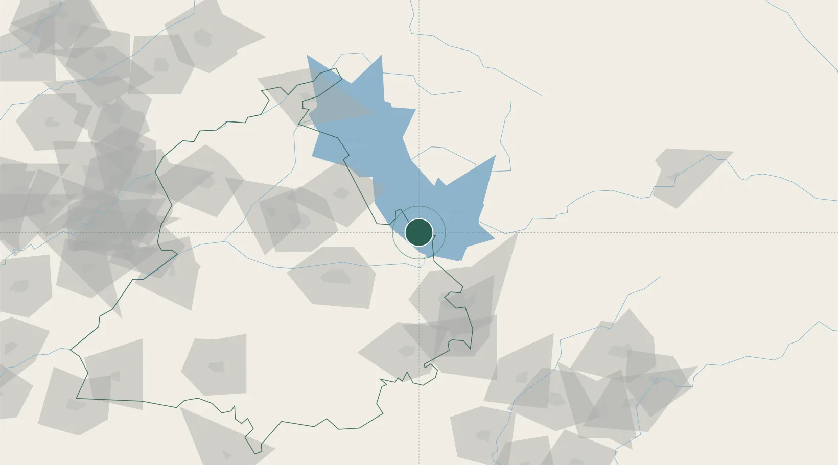
Nearby Logistics Neighbours

Cities
  1. 1Infosys Sez/Mohali30 km
  2. 2Una33 km
  3. 3Chawapayal ICD/Samrala55 km
  4. 4Hoshiarpur63 km
  5. 5Parwanoo63 km
Nearest neighbours — logibook spatial index (haversine) over the source coordinates
Ports
  1. 1Navlakhi1099 km
  2. 2Kandla1105 km
  3. 3Dahej1133 km
  4. 4Bhavnagar1136 km
  5. 5Muhamamad Bin Qasim1151 km
Nearest neighbours — logibook spatial index (haversine) over the source coordinates
Airports
  1. 1Ludhiana Airport68 km
  2. 2Shaheed Bhagat Singh International Airport70 km
  3. 3Adampur Airport73 km
  4. 4Kullu Manali Airport93 km
  5. 5Halwara International Airport100 km
Nearest neighbours — logibook spatial index (haversine) over the source coordinates
Trade Zones
  1. 1Quarkcity India Pvt. Ltd.63 km
  2. 2Rajeev Gandhi Technology Park, Phase-2, Chandigarh66 km
  3. 3Rajiv Gandhi Technology Park, Phase-1 Chandigarh66 km
  4. 4Rachna Industrial Park230 km
  5. 5Sialkot Export Processing Zone247 km
Nearest neighbours — logibook spatial index (haversine) over the source coordinates
DatabookThe Record of Consolidated Knowledge
India beyond logistics?
Browse databook

All Sources

LocationsUN/LOCODE
UN/LOCODE — free
Portsthe NGA World Port Index
Public domain (US gov)
AirportsOurAirports
Public domain
Trade Zonesthe World Bank SEZ database
CC BY 4.0
Trade ZonesOpen Zone Map
CC BY
← India locations