Transport Functions
Multimodal
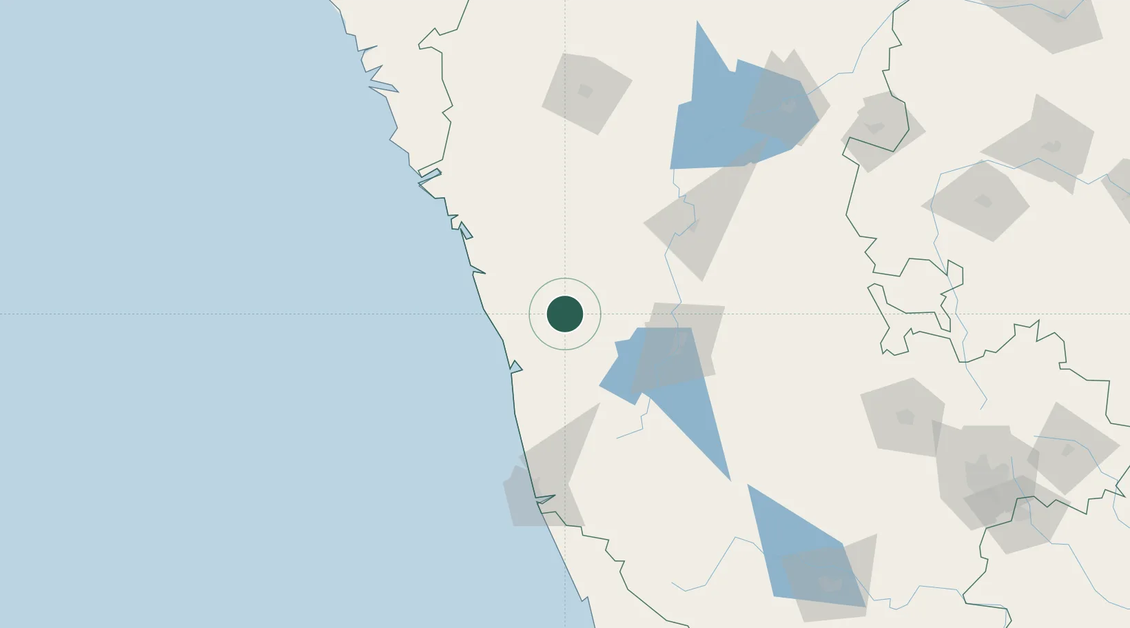
Hub Profile
Place type
Populated place
Region
Madhya Pradesh
Time zone
Asia/Kolkata
Elevation
617 m
Location
Nearby Logistics Neighbours
Cities
- 1Shimoga62 km
- 2Synefra-SEZ/Udupi77 km
- 3New Mangalore85 km
- 4Tadri91 km
- 5Mangalore119 km
Ports
- 1Belekeri111 km
- 2New Mangalore122 km
- 3Karwar132 km
- 4Marmagao204 km
- 5Panaji210 km
Airports
- 1Rashtrakavi Kuvempu Airport69 km
- 2Mangaluru International Airport117 km
- 3Hubballi Airport152 km
- 4Goa Dabolim International Airport198 km
- 5Belagavi Airport211 km
Trade Zones
DatabookThe Record of Consolidated Knowledge
India beyond logistics?