UN/LOCODE hub · India
INHAS

Hassan

13.0000°, 76.0833°
155,006
Population
2
Transport functions

Transport Functions

Road
Multimodal
UN/LOCODE

Hub Profile

Place type
Populated place
GeoNames
Region
Karnataka
GeoNames
Population
155,006
GeoNames
Time zone
Asia/Kolkata
GeoNames
Elevation
955 m
GeoNames

Location

Location of INHAS
Natural Earth 10m (public domain) · Karnataka · INHAS · 13.00, 76.08GoogleOSMYandex

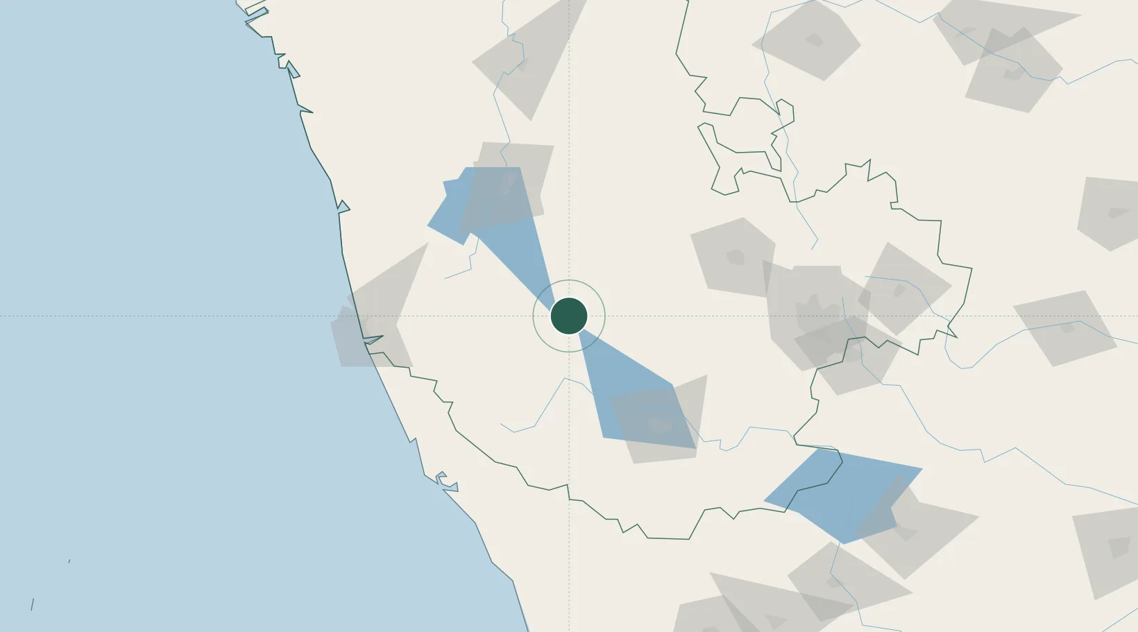
Nearby Logistics Neighbours

Cities
  1. 1OPTO INFRA SEZ/Hassan0 km
  2. 2Kiadbfp-SEZ/Hassan0 km
  3. 3Kiadbp-SEZ/Hassan0 km
  4. 4Kiadbt-SEZ/Hassan0 km
  5. 5Rga Sez/Chikkankannelli74 km
Nearest neighbours — logibook spatial index (haversine) over the source coordinates
Ports
  1. 1New Mangalore138 km
  2. 2Azhikal (Azhikkal)144 km
  3. 3Calicut (Kozhikode)198 km
  4. 4Beypore206 km
  5. 5Belekeri272 km
Nearest neighbours — logibook spatial index (haversine) over the source coordinates
Airports
  1. 1Mysore Airport106 km
  2. 2Rashtrakavi Kuvempu Airport108 km
  3. 3Mangaluru International Airport130 km
  4. 4Kannur International Airport134 km
  5. 5Jakkur Aerodrome164 km
Nearest neighbours — logibook spatial index (haversine) over the source coordinates
Trade Zones
  1. 1Kiadb Food Processing Special Economic Zone2 km
  2. 2Kiadb SEZ Hassan - Textiles5 km
  3. 3Infosys Ltd SEZ (Mysuru)91 km
  4. 4Keonics Shimoga109 km
  5. 5Infosys Ltd. SEZ (Mangaluru)136 km
Nearest neighbours — logibook spatial index (haversine) over the source coordinates
DatabookThe Record of Consolidated Knowledge
India beyond logistics?
Browse databook

All Sources

LocationsUN/LOCODE
UN/LOCODE — free
LocationsGeoNames
CC BY 4.0
Portsthe NGA World Port Index
Public domain (US gov)
AirportsOurAirports
Public domain
Trade Zonesthe World Bank SEZ database
CC BY 4.0
Trade ZonesOpen Zone Map
CC BY
← India locations