UN/LOCODE hub · India
INAJM

Mundra Port SEZ

22.7499°, 69.6880°
1
Transport functions

Transport Functions

Multimodal
UN/LOCODE

Hub Profile

Region
GJ
GeoNames
Logistics facilities
1
UN/LOCODE

Location

Location of INAJM
Natural Earth 10m (public domain) · GJ · INAJM · 22.75, 69.69GoogleOSMYandex

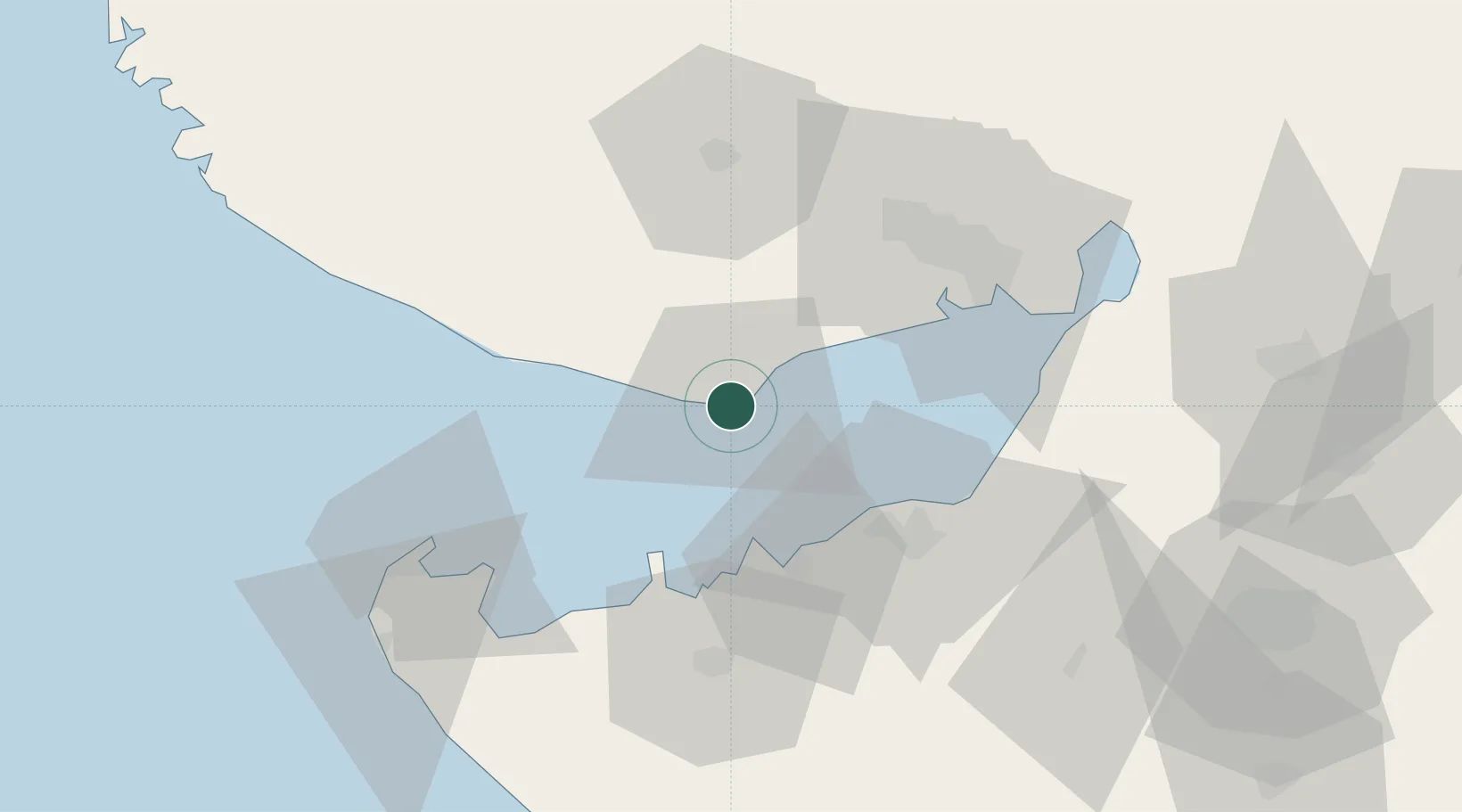
Nearby Logistics Neighbours

Cities
  1. 1Mundra8 km
  2. 2Måndvi34 km
  3. 3Sika38 km
  4. 4Rozi41 km
  5. 5Reliance SEZ/Jamnagar50 km
Nearest neighbours — logibook spatial index (haversine) over the source coordinates
Ports
  1. 1Mundra3 km
  2. 2Vadinar Terminal32 km
  3. 3Mandvi36 km
  4. 4Sikka38 km
  5. 5Bedi42 km
Nearest neighbours — logibook spatial index (haversine) over the source coordinates
Airports
  1. 1Jamnagar Airport46 km
  2. 2Kandla Airport58 km
  3. 3Bhuj Airport60 km
  4. 4Rajkot Airport122 km
  5. 5Porbandar Airport122 km
Nearest neighbours — logibook spatial index (haversine) over the source coordinates
Trade Zones
  1. 1Adani Mundra Port1 km
  2. 2Ganesh Infrastructure Pvt. Ltd.11 km
  3. 3Reliance Jamnagar Infrastructure Ltd.48 km
  4. 4Kandla Special Economic Zone55 km
  5. 5Kandla Special Economic Zone56 km
Nearest neighbours — logibook spatial index (haversine) over the source coordinates
DatabookThe Record of Consolidated Knowledge
India beyond logistics?
Browse databook

All Sources

LocationsUN/LOCODE
UN/LOCODE — free
Portsthe NGA World Port Index
Public domain (US gov)
AirportsOurAirports
Public domain
Trade Zonesthe World Bank SEZ database
CC BY 4.0
Trade ZonesOpen Zone Map
CC BY
← India locations