UN/LOCODE hub · India
INMUN
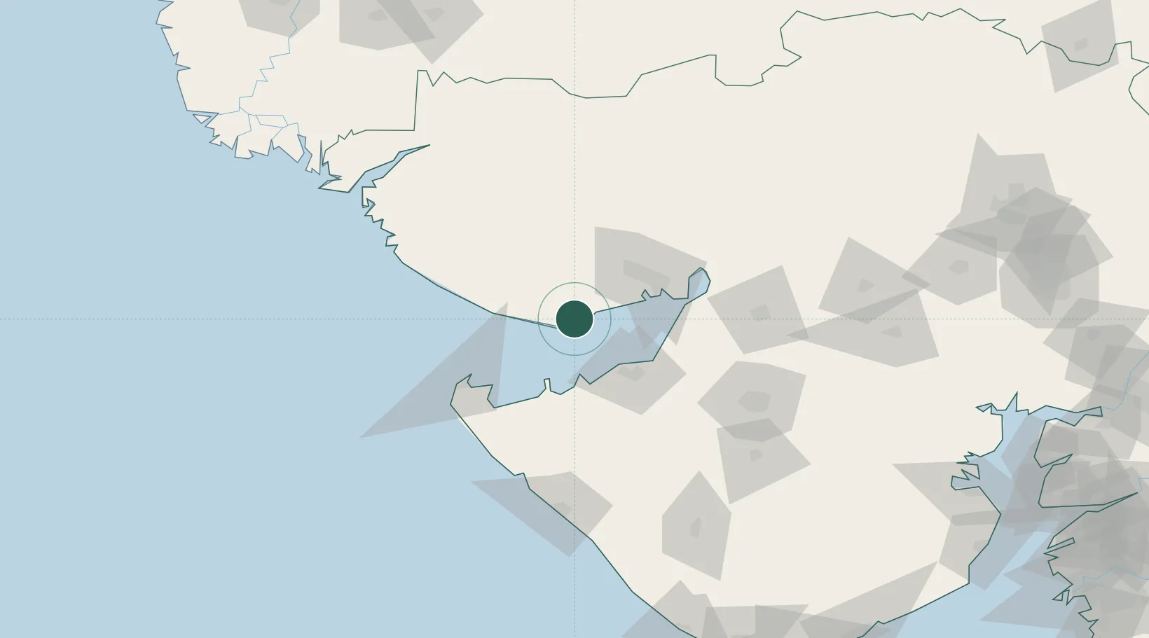
Mundra
22.8160°, 69.7012°
20,338
Population
1
Transport functions
4
Container terminals
Transport Functions
Port
Hub Profile
Place type
Populated place
Region
Gujarat
Population
20,338
Time zone
Asia/Kolkata
Elevation
18 m
Logistics facilities
45
Container terminals
4
Location
Nearby Logistics Neighbours
Cities
- 1Mundra Port SEZ8 km
- 2Måndvi34 km
- 3Rozi44 km
- 4Sika45 km
- 5Welspun Anjar-SEZ/Anjar48 km
Ports
- 1Mandvi36 km
- 2Vadinar Terminal39 km
- 3Bedi45 km
- 4Sikka45 km
- 5Kandla58 km
Airports
- 1Jamnagar Airport50 km
- 2Kandla Airport53 km
- 3Bhuj Airport53 km
- 4Rajkot Airport124 km
- 5Porbandar Airport130 km
Trade Zones
DatabookThe Record of Consolidated Knowledge
India beyond logistics?