UN/LOCODE hub · India
INIXY
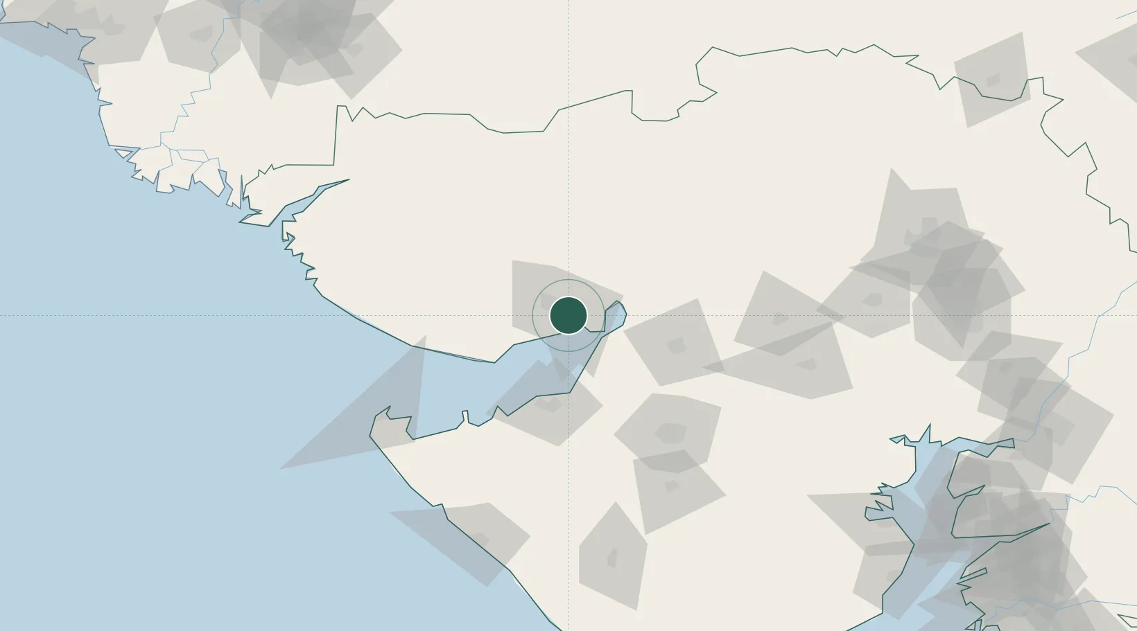
Kandla
23.0387°, 70.1701°
25,845
Population
5
Transport functions
1
Container terminals
Transport Functions
Port
Rail
Road
Airport
Multimodal
Hub Profile
Place type
Populated place
Region
Gujarat
Population
25,845
Time zone
Asia/Kolkata
Elevation
8 m
Logistics facilities
6
Container terminals
1
Location
Nearby Logistics Neighbours
Cities
- 1Kandla-SEZ/Gandhidham3 km
- 2OPGS SEZ/Gandhidham6 km
- 3Gandhidham6 km
- 4Welspun Anjar-SEZ/Anjar19 km
- 5Mundra54 km
Ports
- 1Navlakhi30 km
- 2Bedi53 km
- 3Mundra59 km
- 4Sikka76 km
- 5Vadinar Terminal82 km
Airports
- 1Kandla Airport11 km
- 2Bhuj Airport58 km
- 3Jamnagar Airport66 km
- 4Rajkot Airport102 km
- 5Rajkot International Airport116 km
Trade Zones
DatabookThe Record of Consolidated Knowledge
India beyond logistics?