Transport Functions
Multimodal
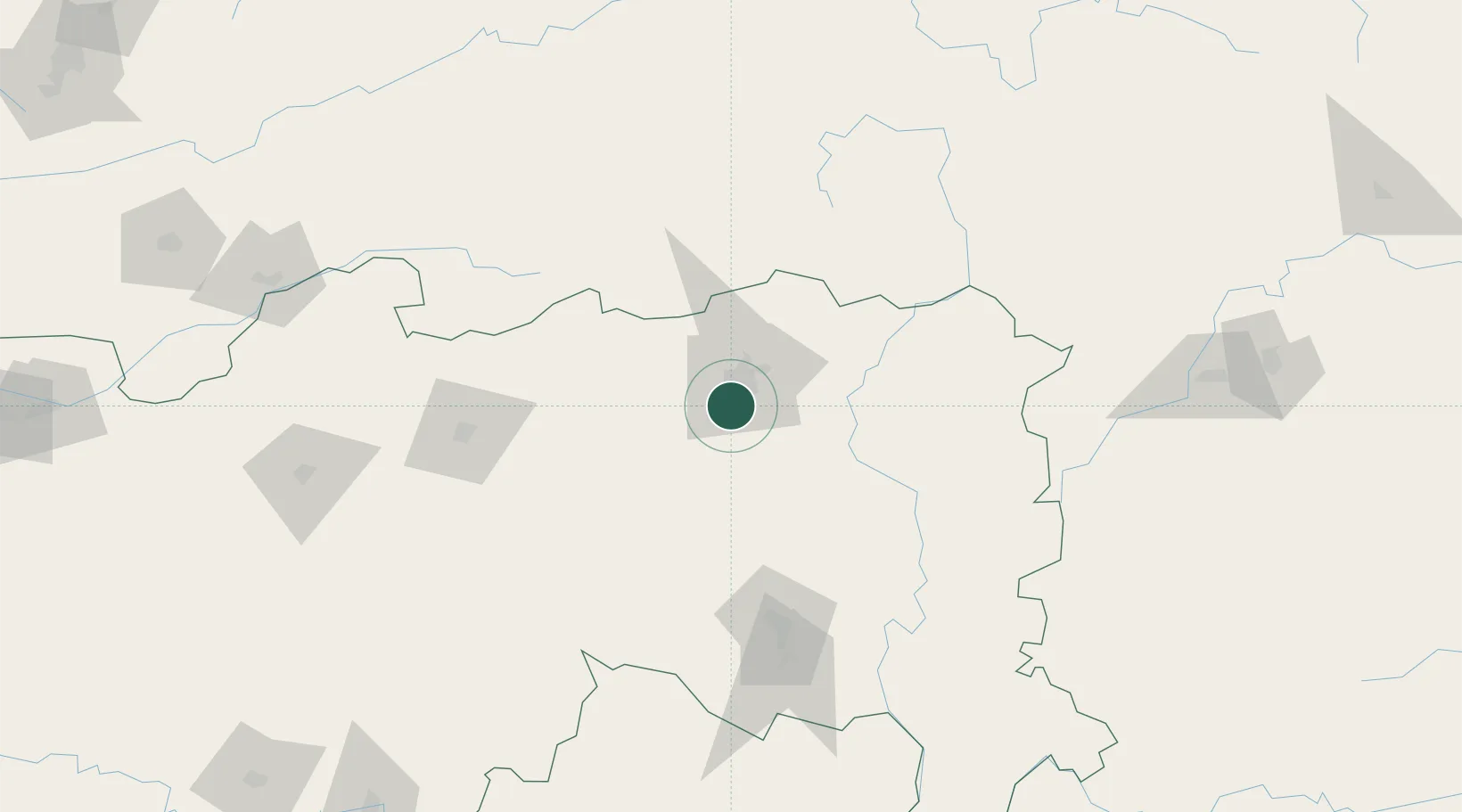
Hub Profile
Region
MH
Logistics facilities
1
Location
Nearby Logistics Neighbours
Cities
- 1Nagpur3 km
- 2MADCL SEZ/Nagpur11 km
- 3Butibori ICD/Nagpur11 km
- 4Borkhedi ICD/Nagpur23 km
- 5Selu43 km
Ports
- 1Kakinada Bay568 km
- 2Gangavaram583 km
- 3Vishakhapatnam583 km
- 4Gopalpur648 km
- 5Magdalla653 km
Airports
- 1Dr. Babasaheb Ambedkar International Airport3 km
- 2Sant Gadge Baba Yavatmal Airport114 km
- 3Gondia Airport139 km
- 4Akola Airport210 km
- 5Jabalpur Airport257 km
DatabookThe Record of Consolidated Knowledge
India beyond logistics?