UN/LOCODE hub · India
INNAG

Nagpur

21.0334°, 79.0344°
2,405,665
Population
2
Transport functions

Transport Functions

Airport
Multimodal
UN/LOCODE

Hub Profile

Place type
Provincial seat
GeoNames
Region
Maharashtra
GeoNames
Population
2,405,665
GeoNames
Time zone
Asia/Kolkata
GeoNames
Elevation
319 m
GeoNames
Logistics facilities
14
UN/LOCODE

Location

Location of INNAG
Natural Earth 10m (public domain) · Maharashtra · INNAG · 21.03, 79.03GoogleOSMYandex

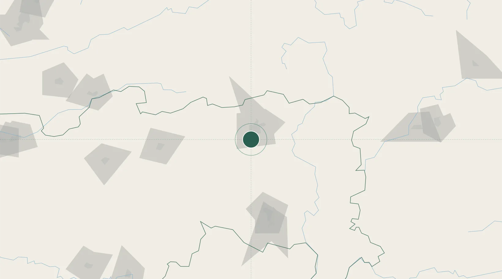
Nearby Logistics Neighbours

Cities
  1. 1Concor Icd/Mihan3 km
  2. 2MADCL SEZ/Nagpur15 km
  3. 3Butibori ICD/Nagpur15 km
  4. 4Borkhedi ICD/Nagpur19 km
  5. 5Selu40 km
Nearest neighbours — logibook spatial index (haversine) over the source coordinates
Ports
  1. 1Kakinada Bay566 km
  2. 2Gangavaram582 km
  3. 3Vishakhapatnam582 km
  4. 4Gopalpur648 km
  5. 5Magdalla652 km
Nearest neighbours — logibook spatial index (haversine) over the source coordinates
Airports
  1. 1Dr. Babasaheb Ambedkar International Airport7 km
  2. 2Sant Gadge Baba Yavatmal Airport111 km
  3. 3Gondia Airport141 km
  4. 4Akola Airport209 km
  5. 5Jabalpur Airport261 km
Nearest neighbours — logibook spatial index (haversine) over the source coordinates
Trade Zones
  1. 1Mihan Special Economic Zone2 km
  2. 2M s. Lanco Solar Private Limited212 km
  3. 3Crystal IT Park SEZ (M.P. Audoyogik Kendra Vikas Nigam(Indore) Ltd.)375 km
  4. 4Impetus Infotech (India) Private Limited375 km
  5. 5Parsvnath City375 km
Nearest neighbours — logibook spatial index (haversine) over the source coordinates
DatabookThe Record of Consolidated Knowledge
India beyond logistics?
Browse databook

All Sources

LocationsUN/LOCODE
UN/LOCODE — free
LocationsGeoNames
CC BY 4.0
Portsthe NGA World Port Index
Public domain (US gov)
AirportsOurAirports
Public domain
Trade Zonesthe World Bank SEZ database
CC BY 4.0
Trade ZonesOpen Zone Map
CC BY
← India locations