Transport Functions
Multimodal
Hub Profile
Region
MH
Logistics facilities
1
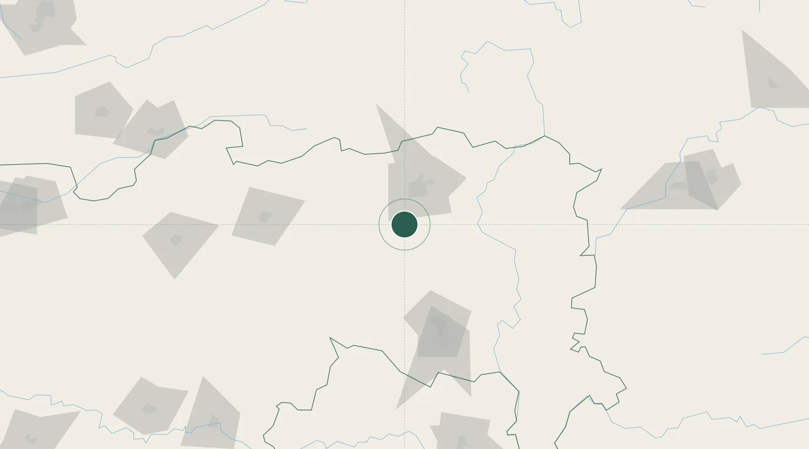
Location
Nearby Logistics Neighbours
Cities
- 1Nagpur19 km
- 2Concor Icd/Mihan23 km
- 3Selu29 km
- 4MADCL SEZ/Nagpur34 km
- 5Butibori ICD/Nagpur34 km
Ports
- 1Kakinada Bay556 km
- 2Gangavaram575 km
- 3Vishakhapatnam576 km
- 4Magdalla647 km
- 5Gopalpur650 km
Airports
- 1Dr. Babasaheb Ambedkar International Airport26 km
- 2Sant Gadge Baba Yavatmal Airport95 km
- 3Gondia Airport155 km
- 4Akola Airport200 km
- 5Nanded Airport255 km
DatabookThe Record of Consolidated Knowledge
India beyond logistics?