UN/LOCODE hub · India
INPKR

KRIL ICD/Pali

28.1833°, 76.6167°
1
Transport functions

Transport Functions

Multimodal
UN/LOCODE

Hub Profile

Region
HR
GeoNames

Location

Location of INPKR
Natural Earth 10m (public domain) · HR · INPKR · 28.18, 76.62GoogleOSMYandex

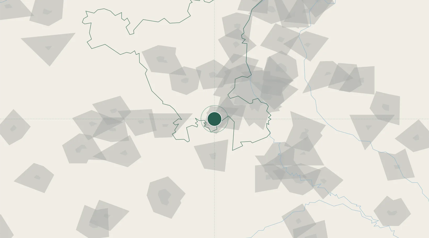
Nearby Logistics Neighbours

Cities
  1. 1Rewari2 km
  2. 2Kathuwas Icd/Alwar26 km
  3. 3Neemrana32 km
  4. 4Garhi Harsaru39 km
  5. 5Patli40 km
Nearest neighbours — logibook spatial index (haversine) over the source coordinates
Ports
  1. 1Dahej830 km
  2. 2Bhavnagar839 km
  3. 3Navlakhi849 km
  4. 4Kandla860 km
  5. 5Magdalla874 km
Nearest neighbours — logibook spatial index (haversine) over the source coordinates
Airports
  1. 1Indira Gandhi International Airport63 km
  2. 2Safdarjung Airport73 km
  3. 3Hindon Airport / Hindon Air Force Station93 km
  4. 4Noida International Airport98 km
  5. 5Maharaja Agrasen International Airport140 km
Nearest neighbours — logibook spatial index (haversine) over the source coordinates
DatabookThe Record of Consolidated Knowledge
India beyond logistics?
Browse databook

All Sources

LocationsUN/LOCODE
UN/LOCODE — free
Portsthe NGA World Port Index
Public domain (US gov)
AirportsOurAirports
Public domain
Trade Zonesthe World Bank SEZ database
CC BY 4.0
Trade ZonesOpen Zone Map
CC BY
← India locations