UN/LOCODE hub · India
INCML

Kathuwas Icd/Alwar

28.1311°, 76.3625°
1
Transport functions

Transport Functions

Multimodal
UN/LOCODE

Hub Profile

Region
RJ
GeoNames
Logistics facilities
1
UN/LOCODE

Location

Location of INCML
Natural Earth 10m (public domain) · RJ · INCML · 28.13, 76.36GoogleOSMYandex

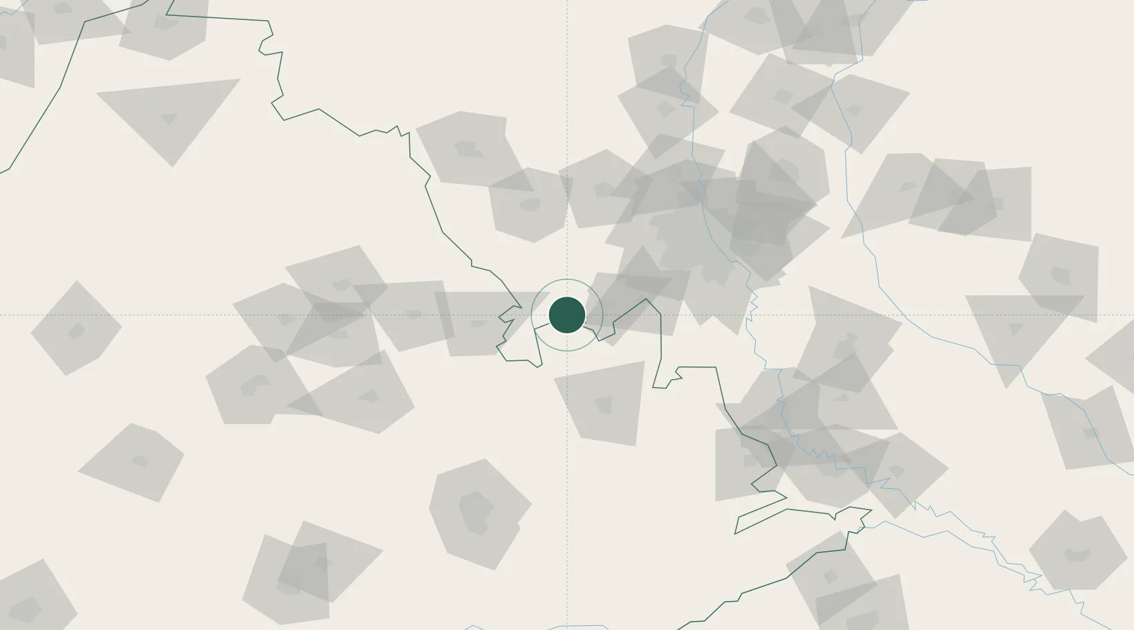
Nearby Logistics Neighbours

Cities
  1. 1Neemrana17 km
  2. 2Rewari25 km
  3. 3KRIL ICD/Pali26 km
  4. 4Garhi Harsaru63 km
  5. 5Patli63 km
Nearest neighbours — logibook spatial index (haversine) over the source coordinates
Ports
  1. 1Dahej813 km
  2. 2Bhavnagar821 km
  3. 3Navlakhi826 km
  4. 4Kandla837 km
  5. 5Magdalla858 km
Nearest neighbours — logibook spatial index (haversine) over the source coordinates
Airports
  1. 1Indira Gandhi International Airport86 km
  2. 2Safdarjung Airport97 km
  3. 3Hindon Airport / Hindon Air Force Station117 km
  4. 4Noida International Airport123 km
  5. 5Maharaja Agrasen International Airport132 km
Nearest neighbours — logibook spatial index (haversine) over the source coordinates
DatabookThe Record of Consolidated Knowledge
India beyond logistics?
Browse databook

All Sources

LocationsUN/LOCODE
UN/LOCODE — free
Portsthe NGA World Port Index
Public domain (US gov)
AirportsOurAirports
Public domain
Trade Zonesthe World Bank SEZ database
CC BY 4.0
Trade ZonesOpen Zone Map
CC BY
← India locations