Transport Functions
Port
Hub Profile
Region
KL
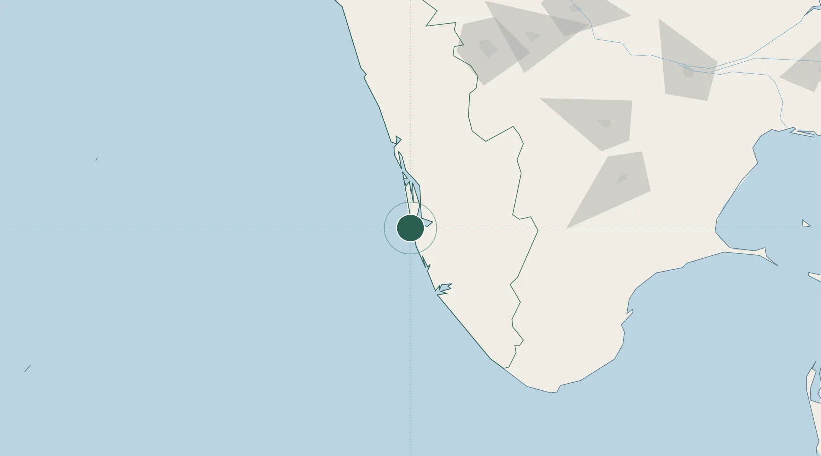
Location
Nearby Logistics Neighbours
Cities
- 1Shertallai24 km
- 2Kottayam25 km
- 3Chengannur39 km
- 4Thoppumpady51 km
- 5Edappally54 km
Ports
- 1Kochi (Cochin)55 km
- 2Quilon (Kollam)74 km
- 3Trivandrum131 km
- 4Beypore196 km
- 5Calicut (Kozhikode)205 km
Airports
Trade Zones
DatabookThe Record of Consolidated Knowledge
India beyond logistics?