Transport Functions
Multimodal
Hub Profile
Place type
Populated place
Region
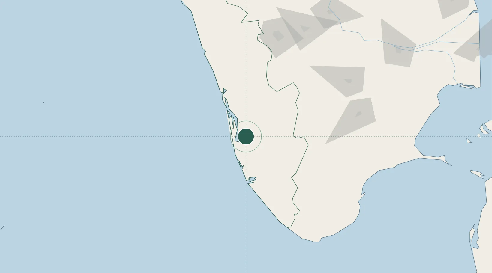
Kerala
Population
55,374
Time zone
Asia/Kolkata
Elevation
20 m
Location
Nearby Logistics Neighbours
Cities
- 1Shertallai24 km
- 2Alleppey25 km
- 3Chengannur31 km
- 4Thoppumpady49 km
- 5Kakkanad49 km
Ports
- 1Kochi (Cochin)53 km
- 2Quilon (Kollam)79 km
- 3Trivandrum131 km
- 4Beypore193 km
- 5Tuticorin201 km
Airports
Trade Zones
DatabookThe Record of Consolidated Knowledge
India beyond logistics?