Transport Functions
Multimodal
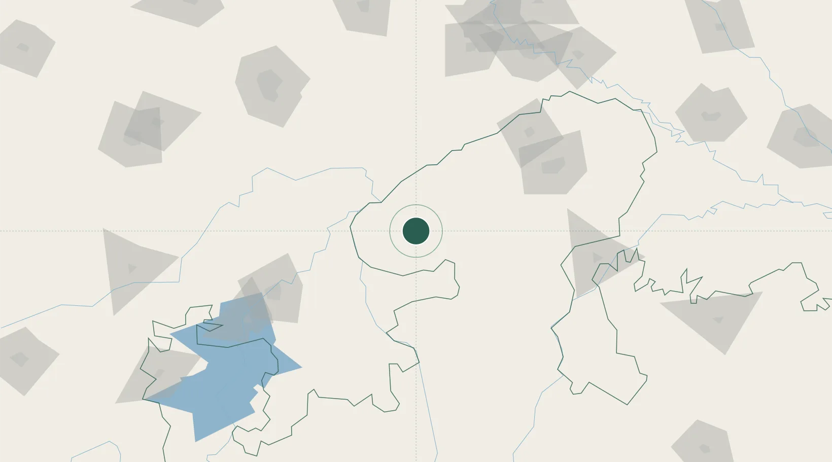
Hub Profile
Place type
Populated place
Region
Madhya Pradesh
Time zone
Asia/Kolkata
Elevation
439 m
Location
Nearby Logistics Neighbours
Cities
- 1Hindaun ICD/Karauli91 km
- 2Kota127 km
- 3Gwalior128 km
- 4Tonk135 km
- 5Jaipur-Sitapura143 km
Airports
- 1Kota Airport133 km
- 2Gwalior Airport137 km
- 3Jaipur International Airport176 km
- 4Agra Airport / Agra Air Force Station188 km
- 5Kishangarh Airport Ajmer244 km
Trade Zones
DatabookThe Record of Consolidated Knowledge
India beyond logistics?