UN/LOCODE hub · India
INHAN

Hindaun ICD/Karauli

26.5000°, 77.0167°
1
Transport functions

Transport Functions

Multimodal
UN/LOCODE

Hub Profile

Region
RJ
GeoNames

Location

Location of INHAN
Natural Earth 10m (public domain) · RJ · INHAN · 26.50, 77.02GoogleOSMYandex

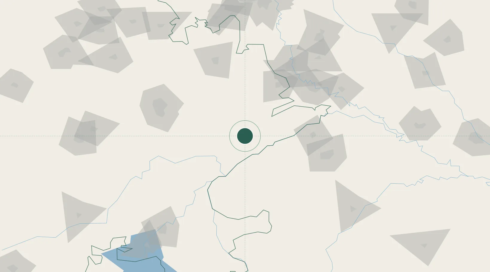
Nearby Logistics Neighbours

Cities
  1. 1Bargawan91 km
  2. 2Gwalior119 km
  3. 3Malanpur125 km
  4. 4Alwar126 km
  5. 5Tonk127 km
Nearest neighbours — logibook spatial index (haversine) over the source coordinates
Ports
  1. 1Dahej701 km
  2. 2Bhavnagar716 km
  3. 3Magdalla736 km
  4. 4Hazira749 km
  5. 5Navlakhi772 km
Nearest neighbours — logibook spatial index (haversine) over the source coordinates
Airports
  1. 1Agra Airport / Agra Air Force Station119 km
  2. 2Gwalior Airport123 km
  3. 3Jaipur International Airport125 km
  4. 4Aligarh Airport188 km
  5. 5Kota Airport190 km
Nearest neighbours — logibook spatial index (haversine) over the source coordinates
Trade Zones
  1. 1Jaipur Special Economic Zone141 km
  2. 2Mahindra Special Economic Zone141 km
  3. 3Mahindra World City (Jaipur) Ltd.141 km
  4. 4Anant Raj Industries Ltd. , IT Park Manesar209 km
  5. 5G.P.Realtors Private Limited212 km
Nearest neighbours — logibook spatial index (haversine) over the source coordinates
DatabookThe Record of Consolidated Knowledge
India beyond logistics?
Browse databook

All Sources

LocationsUN/LOCODE
UN/LOCODE — free
Portsthe NGA World Port Index
Public domain (US gov)
AirportsOurAirports
Public domain
Trade Zonesthe World Bank SEZ database
CC BY 4.0
Trade ZonesOpen Zone Map
CC BY
← India locations