Transport Functions
Airport
Multimodal
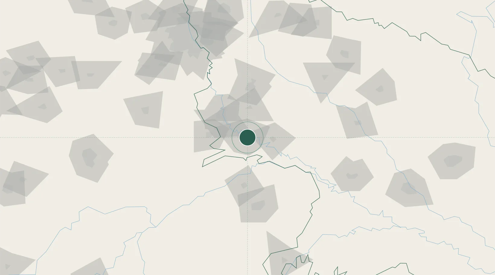
Hub Profile
Place type
Provincial seat
Region
Uttar Pradesh
Population
1,430,055
Time zone
Asia/Kolkata
Elevation
166 m
Logistics facilities
3
Location
Nearby Logistics Neighbours
Cities
- 1Malanpur92 km
- 2Gwalior109 km
- 3Ibrahimpur Icd/Khurja121 km
- 4Hindaun ICD/Karauli127 km
- 5Palwal ICD132 km
Airports
- 1Agra Airport / Agra Air Force Station9 km
- 2Aligarh Airport75 km
- 3Gwalior Airport102 km
- 4Noida International Airport117 km
- 5Safdarjung Airport175 km
Trade Zones
- 1Moser Baer SEZ, Greater Noida156 km
- 2Vedanta Aluminium Limited156 km
- 3TCS Noida158 km
- 4Noida Special Economic Zone162 km
- 5G.P.Realtors Private Limited163 km
DatabookThe Record of Consolidated Knowledge
India beyond logistics?