Transport Functions
Multimodal
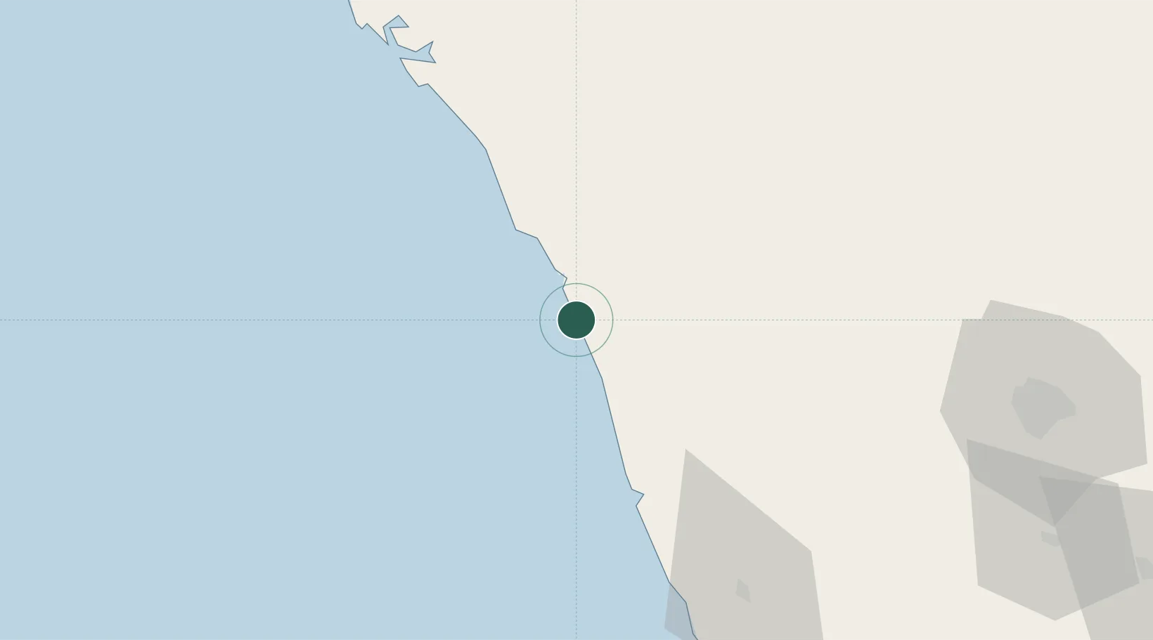
Hub Profile
Region
KL
Location
Nearby Logistics Neighbours
Cities
- 1Kozhikode (ex Calicut)0 km
- 2Kollam24 km
- 3Mahe56 km
- 4Tics ICD/Mathilakam95 km
- 5Taliparamba100 km
Ports
- 1Calicut (Kozhikode)0 km
- 2Beypore10 km
- 3Azhikal (Azhikkal)92 km
- 4Kochi (Cochin)152 km
- 5New Mangalore212 km
Airports
- 1Calicut International Airport24 km
- 2Kannur International Airport78 km
- 3Cochin International Airport141 km
- 4Coimbatore International Airport141 km
- 5Mysore Airport146 km
Trade Zones
DatabookThe Record of Consolidated Knowledge
India beyond logistics?