Transport Functions
Multimodal
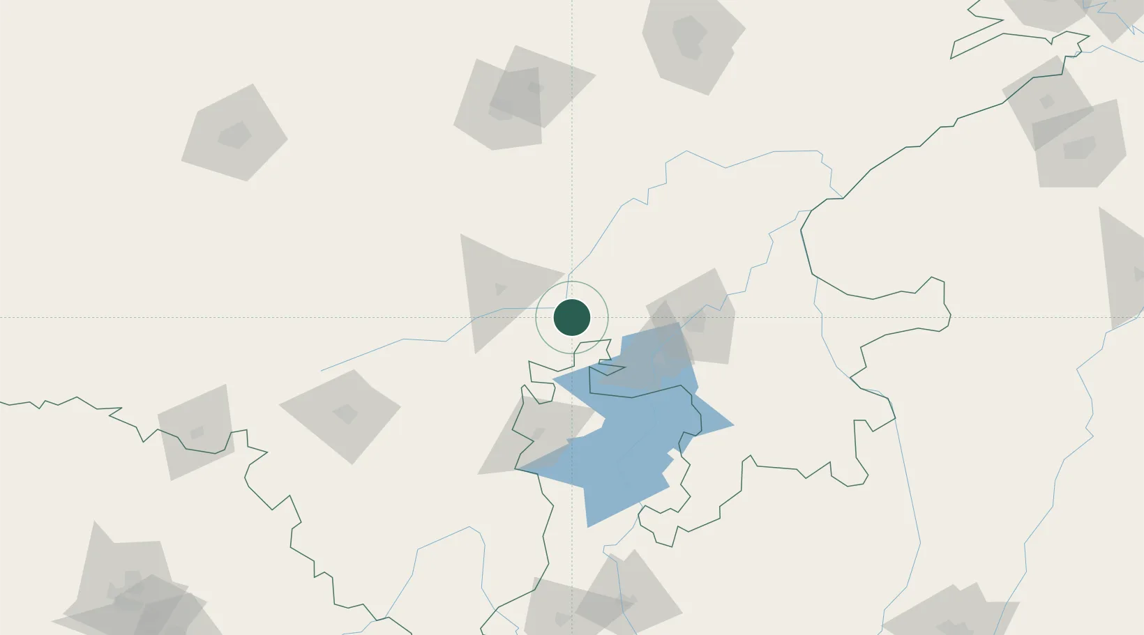
Hub Profile
Place type
Populated place
Region
Rajasthan
Population
359,483
Time zone
Asia/Kolkata
Elevation
419 m
Logistics facilities
1
Location
Nearby Logistics Neighbours
Cities
- 1Jaipur-Sitapura61 km
- 2Riico SEZ-I/Sitapura79 km
- 3Kota81 km
- 4Tonk130 km
- 5Sanganer194 km
Airports
- 1Kota Airport77 km
- 2Maharana Pratap Airport136 km
- 3Kishangarh Airport Ajmer158 km
- 4Jaipur International Airport195 km
- 5Jodhpur Airport235 km
Trade Zones
DatabookThe Record of Consolidated Knowledge
India beyond logistics?