UN/LOCODE hub · India
INKNK

INFOPARK SEZ/Koratty

10.4833°, 76.4833°
1
Transport functions

Transport Functions

Multimodal
UN/LOCODE

Hub Profile

Region
KL
GeoNames

Location

Location of INKNK
Natural Earth 10m (public domain) · KL · INKNK · 10.48, 76.48GoogleOSMYandex

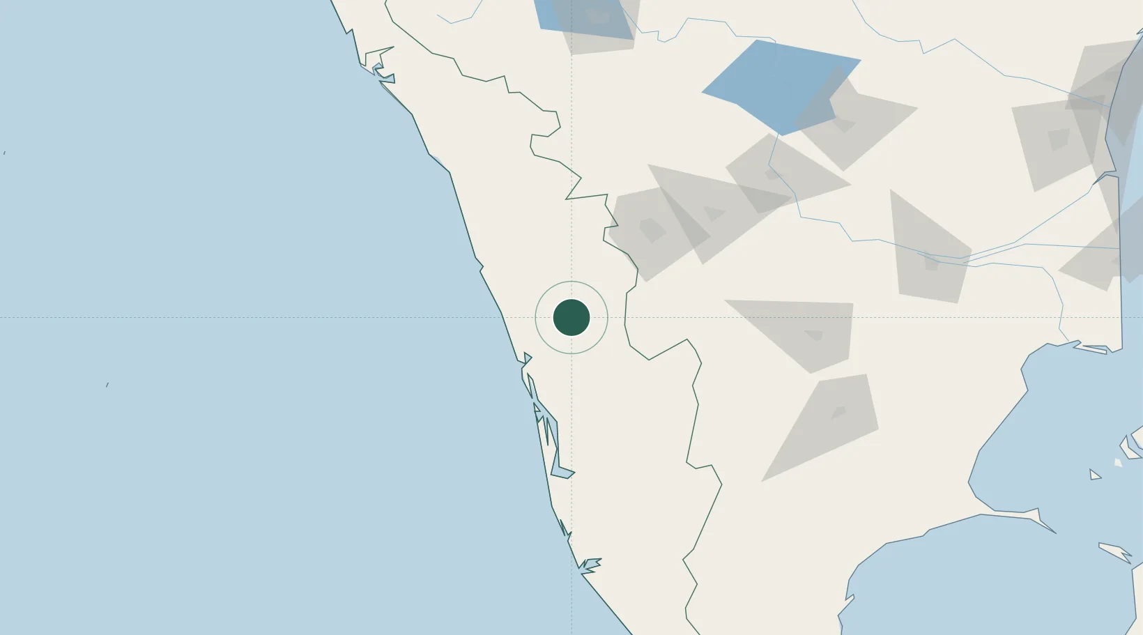
Nearby Logistics Neighbours

Cities
  1. 1Tics ICD/Mathilakam29 km
  2. 2Palghat38 km
  3. 3Ernakulam49 km
  4. 4Kakkanad58 km
  5. 5Cochin59 km
Nearest neighbours — logibook spatial index (haversine) over the source coordinates
Ports
  1. 1Kochi (Cochin)64 km
  2. 2Beypore107 km
  3. 3Calicut (Kozhikode)116 km
  4. 4Quilon (Kollam)180 km
  5. 5Azhikal (Azhikkal)207 km
Nearest neighbours — logibook spatial index (haversine) over the source coordinates
Airports
  1. 1Cochin International Airport38 km
  2. 2Coimbatore International Airport86 km
  3. 3Calicut International Airport93 km
  4. 4Kannur International Airport189 km
  5. 5Madurai Airport190 km
Nearest neighbours — logibook spatial index (haversine) over the source coordinates
Trade Zones
  1. 1Carborundum Universal Ltd52 km
  2. 2M s. Smart City (Kochi) Infrastructure Limited54 km
  3. 3Infopark Kochi55 km
  4. 4Cochin Special Economic Zone56 km
  5. 5Sutherland Global Services Pvt Ltd56 km
Nearest neighbours — logibook spatial index (haversine) over the source coordinates
DatabookThe Record of Consolidated Knowledge
India beyond logistics?
Browse databook

All Sources

LocationsUN/LOCODE
UN/LOCODE — free
Portsthe NGA World Port Index
Public domain (US gov)
AirportsOurAirports
Public domain
Trade Zonesthe World Bank SEZ database
CC BY 4.0
Trade ZonesOpen Zone Map
CC BY
← India locations