Specialized Zone · India

Infopark Kochi Active
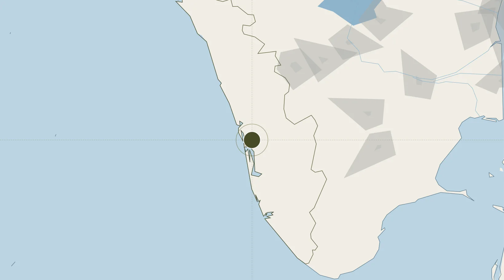
10.0066°, 76.3668°
39 ha
Zone area
15.3 km
Nearest port
16.5 km
Nearest airport

Gateway access

Nearest neighbours — logibook spatial index (haversine) over the source coordinates

Zone profile

Zone type
Specialized Zone
Open Zone Map
Specialization
IT
Open Zone Map
Region
Kerala
Open Zone Map
Status
Active
Open Zone Map
Management
Public
Open Zone Map
Operator
the Government of Kerala
Open Zone Map
Legal framework
EXIM Policy 2000, Chapter 9, Para 30
Open Zone Map

Location

Location of ozm-2260
Natural Earth 10m (public domain) · Kerala · ozm-2260 · 10.01, 76.37GoogleOSMYandex

Nearby Logistics Neighbours

Ports
  1. 1Kochi (Cochin)15 km
  2. 2Quilon (Kollam)128 km
  3. 3Beypore143 km
  4. 4Calicut (Kozhikode)153 km
  5. 5Trivandrum181 km
Nearest neighbours — logibook spatial index (haversine) over the source coordinates
Airports
  1. 1Cochin International Airport17 km
  2. 2Calicut International Airport133 km
  3. 3Coimbatore International Airport136 km
  4. 4Thiruvananthapuram International Airport180 km
  5. 5Madurai Airport190 km
Nearest neighbours — logibook spatial index (haversine) over the source coordinates
Cities
  1. 1Kakkanad5 km
  2. 2Cochin9 km
  3. 3Puthuvypeen-SEZ/Ernakulam10 km
  4. 4Vallarpadom-SEZ/Ernakulam10 km
  5. 5Ernakulam11 km
Nearest neighbours — logibook spatial index (haversine) over the source coordinates
Trade Zones
  1. 1M s. Smart City (Kochi) Infrastructure Limited1 km
  2. 2Cochin Special Economic Zone3 km
  3. 3Sutherland Global Services Pvt Ltd3 km
  4. 4Carborundum Universal Ltd8 km
  5. 5Cochin Port Trust13 km
Nearest neighbours — logibook spatial index (haversine) over the source coordinates
DatabookThe Record of Consolidated Knowledge
India beyond logistics?
Browse databook

All Sources

Trade ZonesOpen Zone Map
CC BY
Portsthe NGA World Port Index
Public domain (US gov)
AirportsOurAirports
Public domain
LocationsUN/LOCODE
UN/LOCODE — free
← India trade zones