UN/LOCODE hub · India
INPAL

Palghat

10.7833°, 76.6500°
2
Transport functions

Transport Functions

Rail
Road
UN/LOCODE

Hub Profile

Region
KL
GeoNames

Location

Location of INPAL
Natural Earth 10m (public domain) · KL · INPAL · 10.78, 76.65GoogleOSMYandex

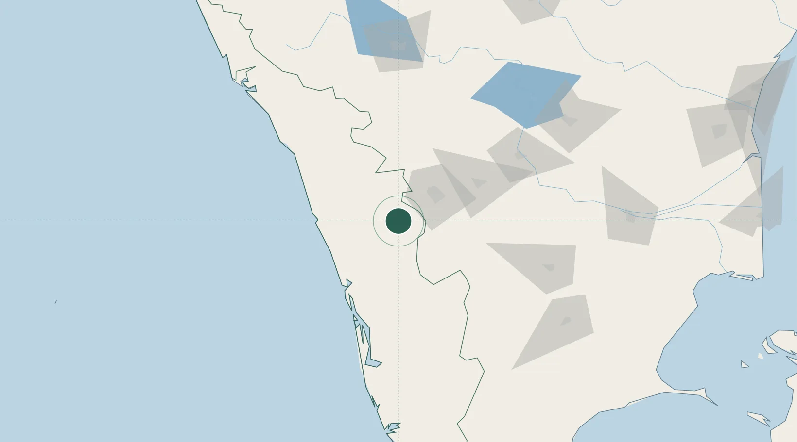
Nearby Logistics Neighbours

Cities
  1. 1INFOPARK SEZ/Koratty38 km
  2. 2Pollachi42 km
  3. 3SE&C LTD-SEZ/Coimbatore42 km
  4. 4TDPL SEZ/Coimbatore42 km
  5. 5ECTN SEZ/Coimbatore42 km
Nearest neighbours — logibook spatial index (haversine) over the source coordinates
Ports
  1. 1Kochi (Cochin)102 km
  2. 2Beypore102 km
  3. 3Calicut (Kozhikode)110 km
  4. 4Azhikal (Azhikkal)195 km
  5. 5Quilon (Kollam)213 km
Nearest neighbours — logibook spatial index (haversine) over the source coordinates
Airports
  1. 1Coimbatore International Airport51 km
  2. 2Cochin International Airport75 km
  3. 3Calicut International Airport85 km
  4. 4Mysore Airport161 km
  5. 5Kannur International Airport174 km
Nearest neighbours — logibook spatial index (haversine) over the source coordinates
Trade Zones
  1. 1Span Ventures39 km
  2. 2Rathinam Techzone40 km
  3. 3Aspen Karumathamapatti Special Economic Zone (Formerly Aspen)69 km
  4. 4Carborundum Universal Ltd90 km
  5. 5M s. Smart City (Kochi) Infrastructure Limited91 km
Nearest neighbours — logibook spatial index (haversine) over the source coordinates
DatabookThe Record of Consolidated Knowledge
India beyond logistics?
Browse databook

All Sources

LocationsUN/LOCODE
UN/LOCODE — free
Portsthe NGA World Port Index
Public domain (US gov)
AirportsOurAirports
Public domain
Trade Zonesthe World Bank SEZ database
CC BY 4.0
Trade ZonesOpen Zone Map
CC BY
← India locations