Diversified Zone · India

Cochin Special Economic Zone Active
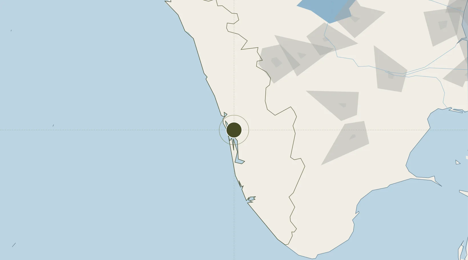
10.0039°, 76.3431°
42 ha
Zone area
12.7 km
Nearest port
17.5 km
Nearest airport

Gateway access

Nearest neighbours — logibook spatial index (haversine) over the source coordinates

Zone profile

Zone type
Diversified Zone
Open Zone Map
Region
Kerala
Open Zone Map
Status
Active
Open Zone Map
Management
Public-Private Partnership
Open Zone Map
Operator
Ministry of Commerce & Industry, Govt. of India
Open Zone Map
Legal framework
Kerala Special Economic Zone Policy of 2008
Open Zone Map

Location

Location of ozm-2097
Natural Earth 10m (public domain) · Kerala · ozm-2097 · 10.00, 76.34GoogleOSMYandex

Nearby Logistics Neighbours

Ports
  1. 1Kochi (Cochin)13 km
  2. 2Quilon (Kollam)129 km
  3. 3Beypore142 km
  4. 4Calicut (Kozhikode)152 km
  5. 5Trivandrum182 km
Nearest neighbours — logibook spatial index (haversine) over the source coordinates
Airports
  1. 1Cochin International Airport18 km
  2. 2Calicut International Airport133 km
  3. 3Coimbatore International Airport137 km
  4. 4Thiruvananthapuram International Airport181 km
  5. 5Madurai Airport193 km
Nearest neighbours — logibook spatial index (haversine) over the source coordinates
Cities
  1. 1Kakkanad3 km
  2. 2Cochin7 km
  3. 3Puthuvypeen-SEZ/Ernakulam7 km
  4. 4Vallarpadom-SEZ/Ernakulam7 km
  5. 5Edappally9 km
Nearest neighbours — logibook spatial index (haversine) over the source coordinates
Trade Zones
  1. 1Sutherland Global Services Pvt Ltd1 km
  2. 2Infopark Kochi3 km
  3. 3M s. Smart City (Kochi) Infrastructure Limited3 km
  4. 4Carborundum Universal Ltd6 km
  5. 5Cochin Port Trust11 km
Nearest neighbours — logibook spatial index (haversine) over the source coordinates
DatabookThe Record of Consolidated Knowledge
India beyond logistics?
Browse databook

All Sources

Trade ZonesOpen Zone Map
CC BY
Portsthe NGA World Port Index
Public domain (US gov)
AirportsOurAirports
Public domain
LocationsUN/LOCODE
UN/LOCODE — free
← India trade zones