Transport Functions
Multimodal
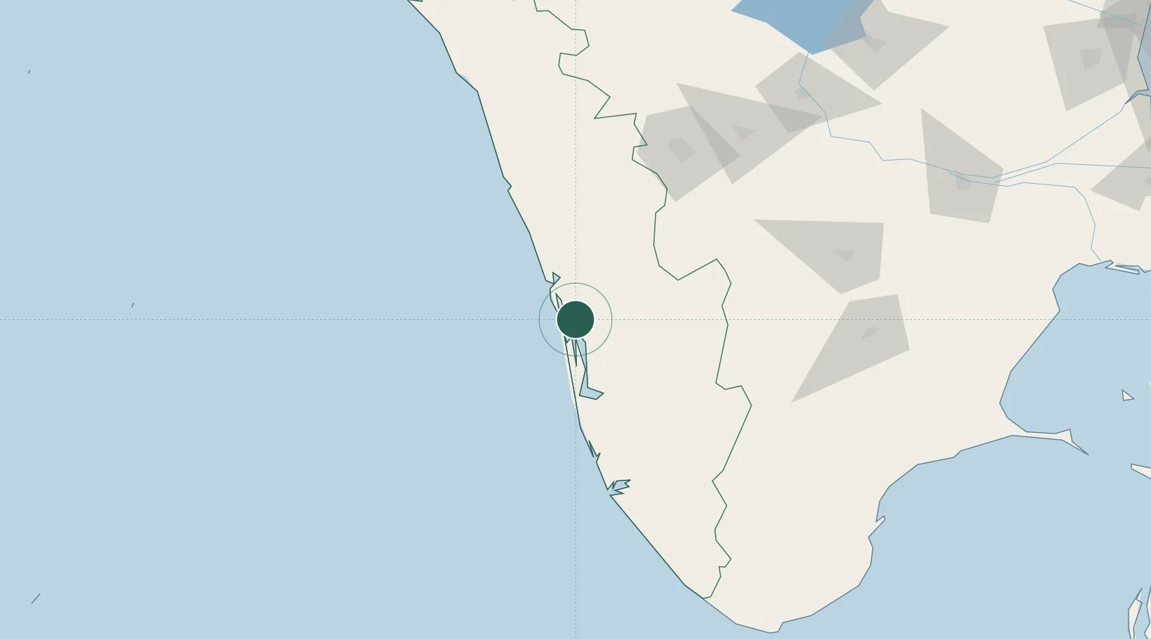
Hub Profile
Place type
Populated place
Region
Kerala
Population
25,531
Time zone
Asia/Kolkata
Elevation
20 m
Location
Nearby Logistics Neighbours
Cities
- 1Cochin5 km
- 2Puthuvypeen-SEZ/Ernakulam6 km
- 3Vallarpadom-SEZ/Ernakulam6 km
- 4Edappally8 km
- 5Thoppumpady11 km
Ports
- 1Kochi (Cochin)11 km
- 2Quilon (Kollam)127 km
- 3Beypore144 km
- 4Calicut (Kozhikode)154 km
- 5Trivandrum180 km
Airports
DatabookThe Record of Consolidated Knowledge
India beyond logistics?