Medium airport · India
Jodhpur AirportVIJO
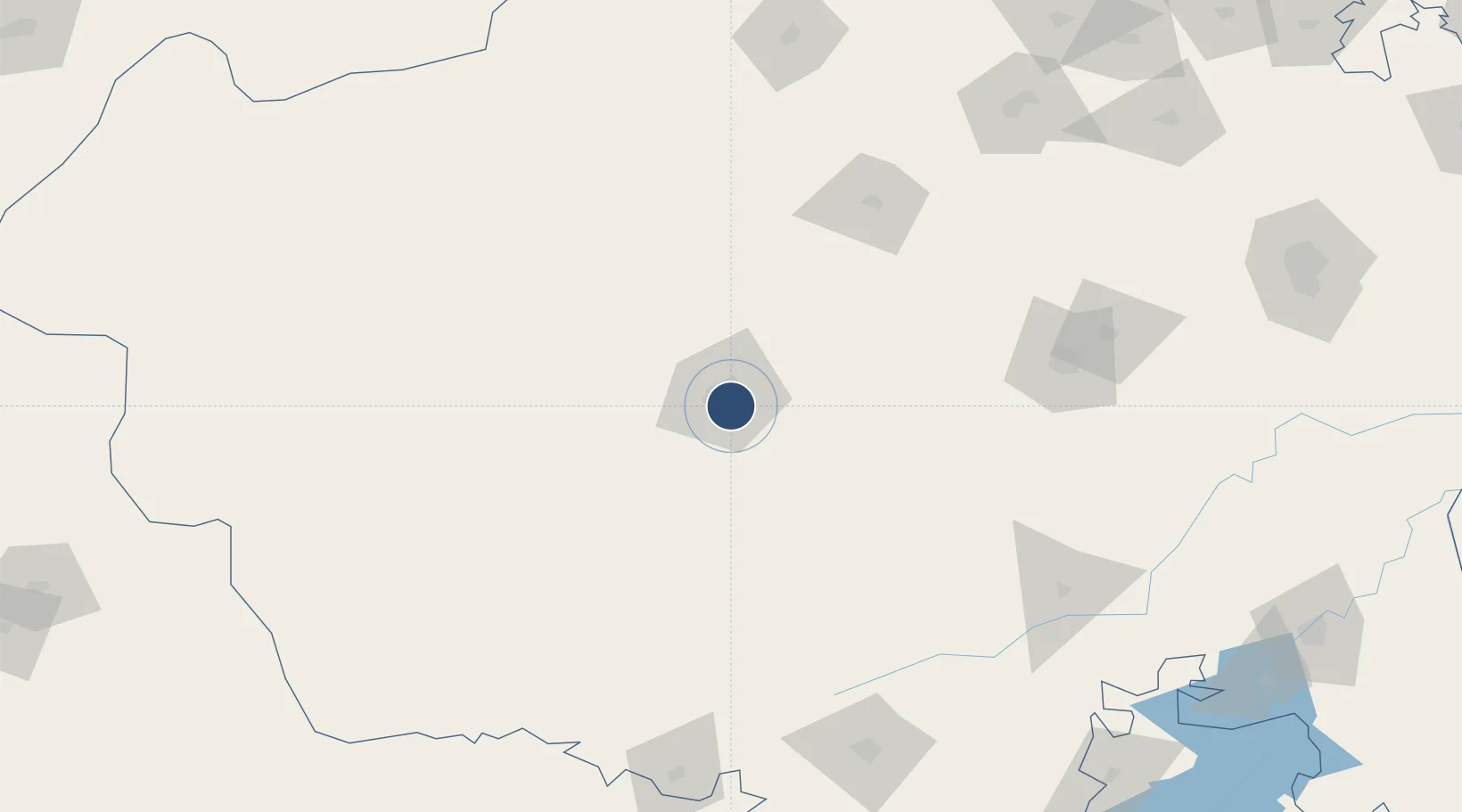
26.2511°, 73.0489°
9,005 ft
Longest runway
1
Runways
717 ft
Elevation
Runway & Layout

Radio Frequencies
TWR
123.5 MHz
APP
122.7 MHz
Navaids
JJO VOR-DME Jodhpur 112.30 MHz
JO NDB Jodhpur 340 kHz
Runways · 1
| Runway | Dimensions | Surface | True heading | Lit |
|---|---|---|---|---|
| 05/23 | 9,005 × 150ft | Asphalt / concrete | 045° | ✓ |
Airport Specifications
IATA code
JDH
ICAO code
VIJO
Airport class
Medium airport
Scheduled service
Yes
Runway surface
Asphalt / concrete
Served city
Jodhpur
Location
Nearby Logistics Neighbours
Airports
- 1Kishangarh Airport Ajmer180 km
- 2Maharana Pratap Airport201 km
- 3Nal Airport203 km
- 4Jaisalmer Airport229 km
- 5Jaipur International Airport282 km
Cities
- 1Basni4 km
- 2Jodhpur6 km
- 3Boranada, Jodhpur12 km
- 4Borawar183 km
- 5Bikaner198 km
Trade Zones
DatabookThe Record of Consolidated Knowledge
India beyond logistics?