UN/LOCODE hub · India
INBRN

Boranada, Jodhpur

26.2667°, 73.1667°
2
Transport functions

Transport Functions

Road
Multimodal
UN/LOCODE

Hub Profile

Region
RJ
GeoNames

Location

Location of INBRN
Natural Earth 10m (public domain) · RJ · INBRN · 26.27, 73.17GoogleOSMYandex

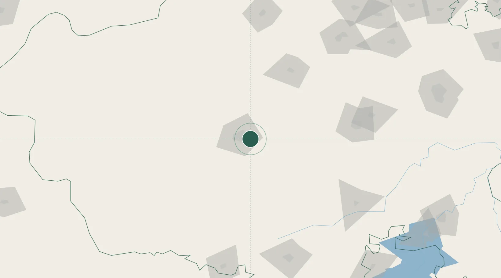
Nearby Logistics Neighbours

Cities
  1. 1Basni15 km
  2. 2Jodhpur18 km
  3. 3Borawar172 km
  4. 4Bikaner195 km
  5. 5Abu Road202 km
Nearest neighbours — logibook spatial index (haversine) over the source coordinates
Ports
  1. 1Navlakhi459 km
  2. 2Kandla467 km
  3. 3Bhavnagar509 km
  4. 4Dahej512 km
  5. 5Bedi518 km
Nearest neighbours — logibook spatial index (haversine) over the source coordinates
Airports
  1. 1Jodhpur Airport12 km
  2. 2Kishangarh Airport Ajmer168 km
  3. 3Maharana Pratap Airport197 km
  4. 4Nal Airport201 km
  5. 5Jaisalmer Airport239 km
Nearest neighbours — logibook spatial index (haversine) over the source coordinates
Trade Zones
  1. 1Jaipur Special Economic Zone254 km
  2. 2Mahindra Special Economic Zone254 km
  3. 3Mahindra World City (Jaipur) Ltd.254 km
  4. 4Tata Consultancy Services Ltd, Gandhinagar.346 km
  5. 5Gift Multi Service SEZ349 km
Nearest neighbours — logibook spatial index (haversine) over the source coordinates
DatabookThe Record of Consolidated Knowledge
India beyond logistics?
Browse databook

All Sources

LocationsUN/LOCODE
UN/LOCODE — free
Portsthe NGA World Port Index
Public domain (US gov)
AirportsOurAirports
Public domain
Trade Zonesthe World Bank SEZ database
CC BY 4.0
Trade ZonesOpen Zone Map
CC BY
← India locations