Medium airport · India
Nal AirportVIBK
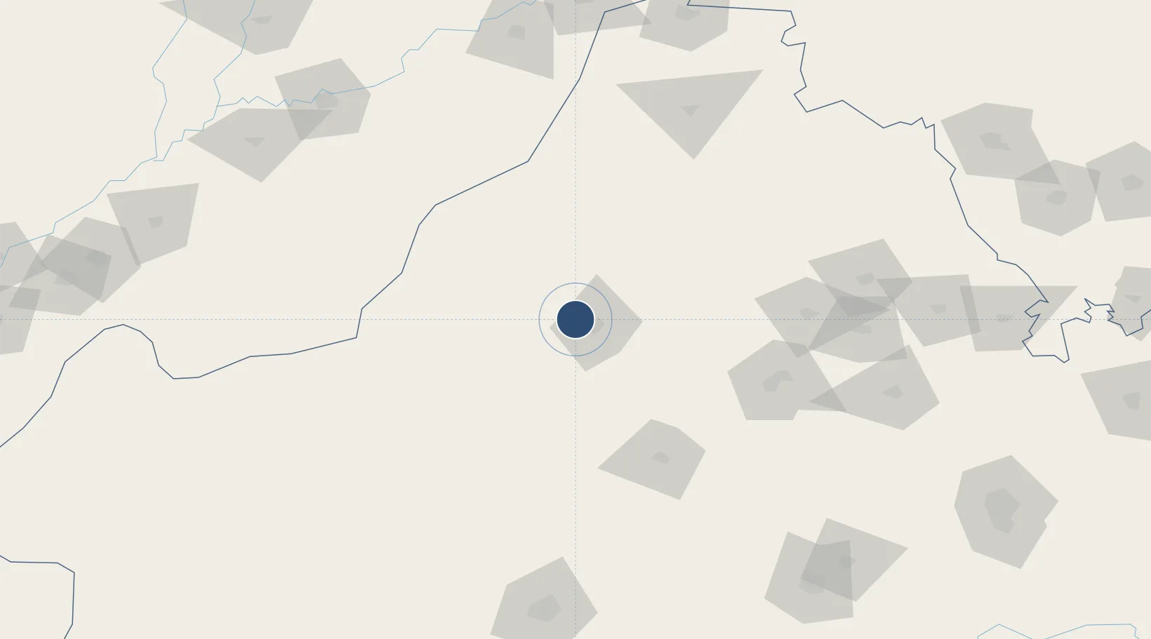
28.0706°, 73.2072°
8,960 ft
Longest runway
1
Runways
750 ft
Elevation
Runway & Layout

Runways · 1
| Runway | Dimensions | Surface | True heading | Lit |
|---|---|---|---|---|
| 05/23 | 8,960 × 148ft | Asphalt | 045° | ✓ |
Airport Specifications
IATA code
BKB
ICAO code
VIBK
Airport class
Medium airport
Scheduled service
No
Runway surface
Asphalt
Served city
Bikaner
Location
Nearby Logistics Neighbours
Airports
- 1Jodhpur Airport203 km
- 2Bahawalpur Airport203 km
- 3Kishangarh Airport Ajmer229 km
- 4Sirsa Air Force Station241 km
- 5Jaisalmer Airport266 km
Cities
- 1Bikaner11 km
- 2Borawar187 km
- 3Boranada, Jodhpur201 km
- 4Basni205 km
- 5Jodhpur206 km
Ports
- 1Navlakhi633 km
- 2Kandla635 km
- 3Bedi689 km
- 4Muhamamad Bin Qasim689 km
- 5Mundra690 km
Trade Zones
DatabookThe Record of Consolidated Knowledge
India beyond logistics?