UN/LOCODE hub · India
INPWL

Palwal ICD

28.2006°, 77.3262°
1
Transport functions

Transport Functions

Multimodal
UN/LOCODE

Hub Profile

Region
HR
GeoNames
Logistics facilities
1
UN/LOCODE

Location

Location of INPWL
Natural Earth 10m (public domain) · HR · INPWL · 28.20, 77.33GoogleOSMYandex

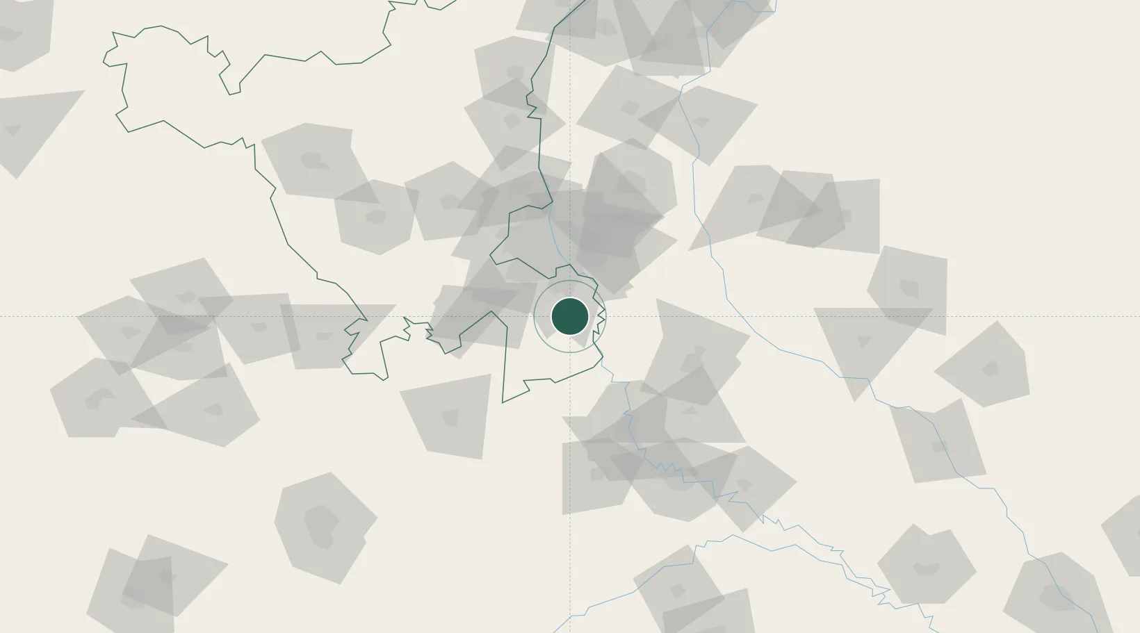
Nearby Logistics Neighbours

Cities
  1. 1GRFL ICD/Ballabhgarh7 km
  2. 2Faridabad16 km
  3. 3Concor-ICD/Ballabhgarh17 km
  4. 4Faridabad19 km
  5. 5GPRPL SEZ/Gurgaon23 km
Nearest neighbours — logibook spatial index (haversine) over the source coordinates
Ports
  1. 1Dahej869 km
  2. 2Bhavnagar880 km
  3. 3Navlakhi903 km
  4. 4Magdalla910 km
  5. 5Kandla915 km
Nearest neighbours — logibook spatial index (haversine) over the source coordinates
Airports
  1. 1Noida International Airport28 km
  2. 2Safdarjung Airport44 km
  3. 3Indira Gandhi International Airport46 km
  4. 4Hindon Airport / Hindon Air Force Station57 km
  5. 5Aligarh Airport89 km
Nearest neighbours — logibook spatial index (haversine) over the source coordinates
Trade Zones
  1. 1G.P.Realtors Private Limited31 km
  2. 2Asf Insignia SEZ Pvt. Ltd. (Formerly Known As Canton Buildwell Pvt. Ltd.)31 km
  3. 3ASF Insignia SEZ31 km
  4. 4TCS Noida34 km
  5. 5Dr. Fresh Healthcare Pvt. Ltd.35 km
Nearest neighbours — logibook spatial index (haversine) over the source coordinates
DatabookThe Record of Consolidated Knowledge
India beyond logistics?
Browse databook

All Sources

LocationsUN/LOCODE
UN/LOCODE — free
Portsthe NGA World Port Index
Public domain (US gov)
AirportsOurAirports
Public domain
Trade Zonesthe World Bank SEZ database
CC BY 4.0
Trade ZonesOpen Zone Map
CC BY
← India locations