UN/LOCODE hub · India
INAIK

Ibrahimpur Icd/Khurja

28.2667°, 77.8667°
1
Transport functions

Transport Functions

Multimodal
UN/LOCODE

Hub Profile

Region
UP
GeoNames

Location

Location of INAIK
Natural Earth 10m (public domain) · UP · INAIK · 28.27, 77.87GoogleOSMYandex

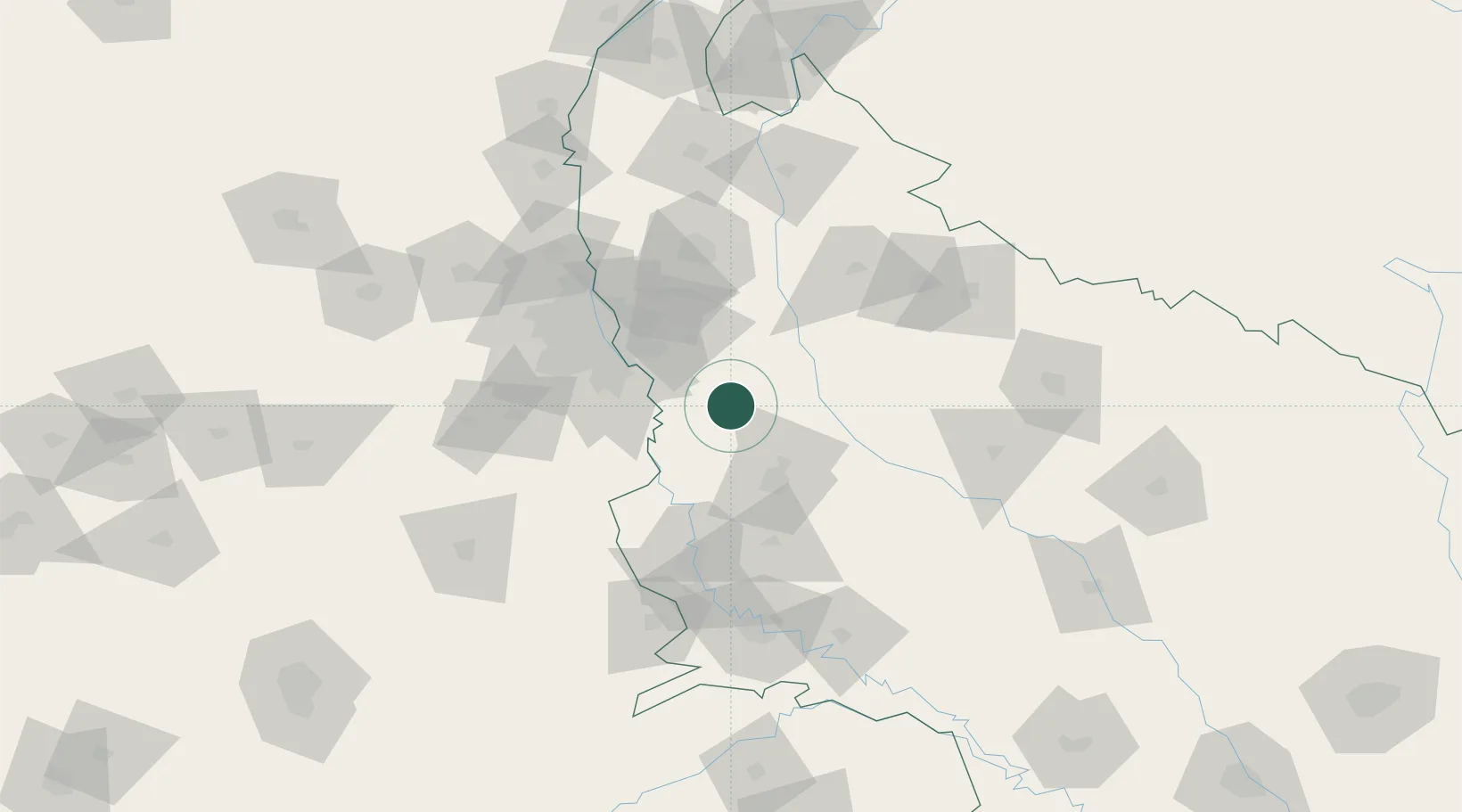
Nearby Logistics Neighbours

Cities
  1. 1Piyala Block Hut40 km
  2. 2Infosys Sez/Dadri43 km
  3. 3Dadri ICD/Noida44 km
  4. 4Alpl Cfs/Dadri46 km
  5. 5Acpl Cfs/Dadri46 km
Nearest neighbours — logibook spatial index (haversine) over the source coordinates
Ports
  1. 1Dahej906 km
  2. 2Bhavnagar919 km
  3. 3Magdalla945 km
  4. 4Navlakhi949 km
  5. 5Hazira958 km
Nearest neighbours — logibook spatial index (haversine) over the source coordinates
Airports
  1. 1Noida International Airport27 km
  2. 2Aligarh Airport53 km
  3. 3Hindon Airport / Hindon Air Force Station70 km
  4. 4Safdarjung Airport74 km
  5. 5Indira Gandhi International Airport82 km
Nearest neighbours — logibook spatial index (haversine) over the source coordinates
Trade Zones
  1. 1Moser Baer SEZ, Greater Noida47 km
  2. 2Vedanta Aluminium Limited47 km
  3. 3TCS Noida52 km
  4. 4Noida Special Economic Zone55 km
  5. 5Unitech Realty Projects Ltd.59 km
Nearest neighbours — logibook spatial index (haversine) over the source coordinates
DatabookThe Record of Consolidated Knowledge
India beyond logistics?
Browse databook

All Sources

LocationsUN/LOCODE
UN/LOCODE — free
Portsthe NGA World Port Index
Public domain (US gov)
AirportsOurAirports
Public domain
Trade Zonesthe World Bank SEZ database
CC BY 4.0
Trade ZonesOpen Zone Map
CC BY
← India locations