UN/LOCODE hub · India
INACT

Ambala Cantonment

30.6000°, 77.4000°
1
Transport functions

Transport Functions

Multimodal
UN/LOCODE

Hub Profile

Region
HR
GeoNames

Location

Location of INACT
Natural Earth 10m (public domain) · HR · INACT · 30.60, 77.40GoogleOSMYandex

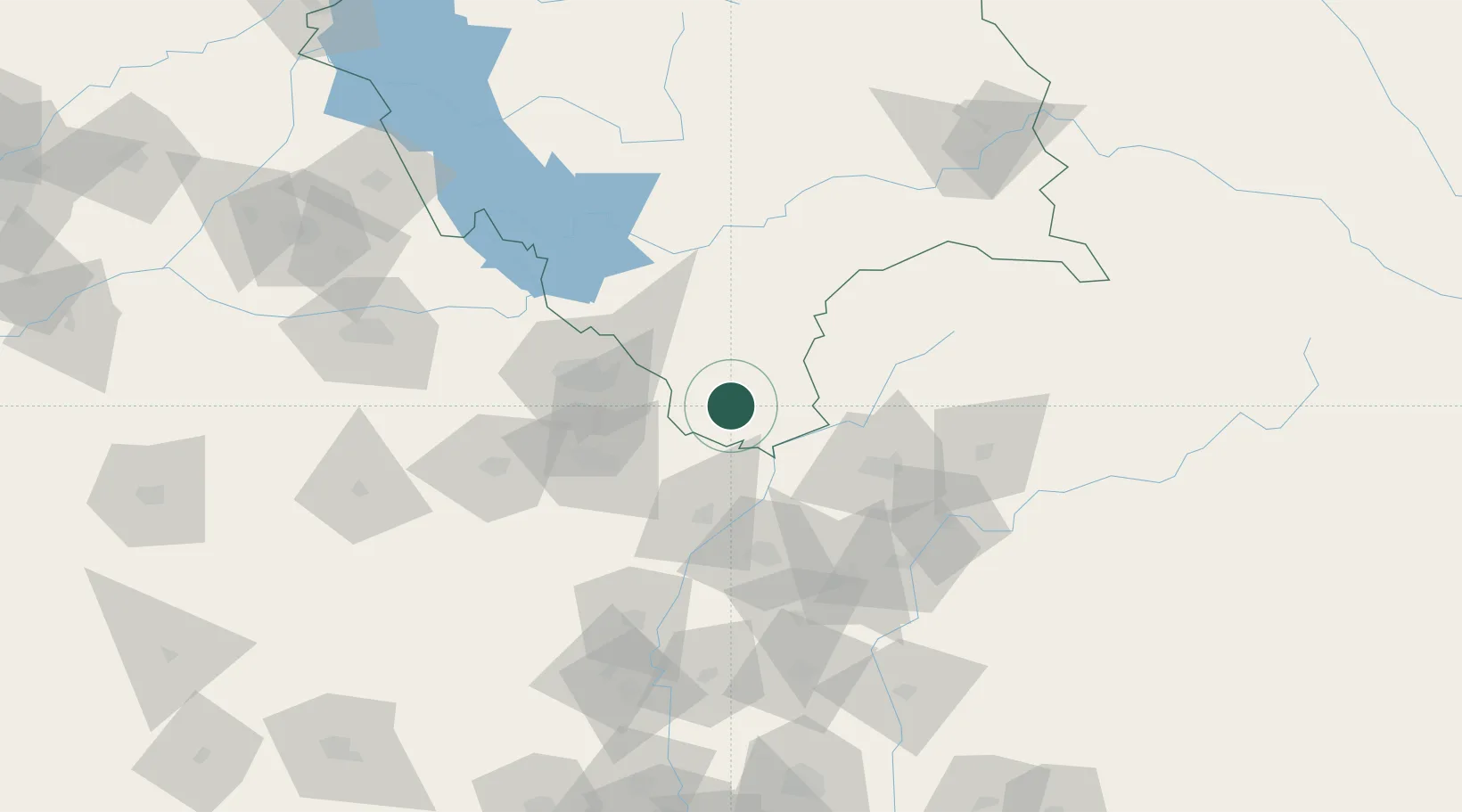
Nearby Logistics Neighbours

Cities
  1. 1Kala Amb22 km
  2. 2Barotiwala41 km
  3. 3Barwala44 km
  4. 4Parwanoo50 km
  5. 5Dappar58 km
Nearest neighbours — logibook spatial index (haversine) over the source coordinates
Ports
  1. 1Navlakhi1094 km
  2. 2Dahej1102 km
  3. 3Kandla1102 km
  4. 4Bhavnagar1109 km
  5. 5Magdalla1149 km
Nearest neighbours — logibook spatial index (haversine) over the source coordinates
Airports
  1. 1Shaheed Bhagat Singh International Airport59 km
  2. 2Ambala Air Force Station62 km
  3. 3Dehradun Jolly Grant Airport87 km
  4. 4Ludhiana Airport141 km
  5. 5Kullu Manali Airport144 km
Nearest neighbours — logibook spatial index (haversine) over the source coordinates
DatabookThe Record of Consolidated Knowledge
India beyond logistics?
Browse databook

All Sources

LocationsUN/LOCODE
UN/LOCODE — free
Portsthe NGA World Port Index
Public domain (US gov)
AirportsOurAirports
Public domain
Trade Zonesthe World Bank SEZ database
CC BY 4.0
Trade ZonesOpen Zone Map
CC BY
← India locations